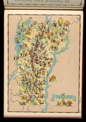
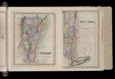
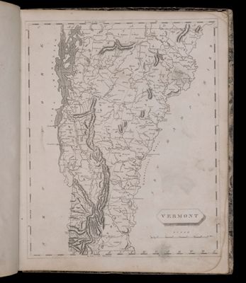
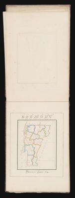
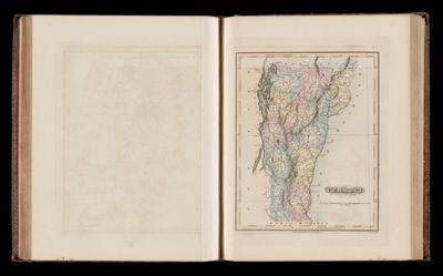
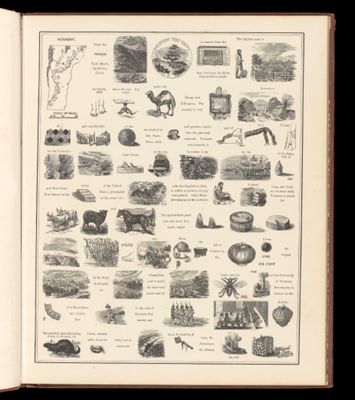
Vermont
Creator: Little, Brown and CompanyTaylor, Frank J., 1894-1972Taylor, Ruth, 1902-Date Created: 1935
Content: GraphicMapLanguage: EnglishRegion Depicted: VermontHistorical Context: Our Gay Geography was marketed and designed as an entertaining and fanciful pictorial illustrated atlas of the United States, which includes a full color map and a page of historical and geographical text for each of the 48 states plus the Territories of Alaska, Hawaii, American Samoa and the Commonwealth of the Philippines, as well as a map of the Caribbean showing Puerto Rico, the Virgin Islands and the Panama Canal Zone as well as the rest of the Antilles (56 maps in total). Numerous small cartoons on the map of each state depict historically significant sites, peoples, activities, crops, animals, populated places, etc. A product of the 1930s, the atlas is rife with stereotypical and often racist caricatures of an individual state's inhabitants, particularly in the South and in the West. In addition to these insensitive depictions of peoples, the atlas also reflects the era in which it was produced in terms of stereotypical gender roles as well as in its portrayals of what was important or noteworthy about states and regions in terms of present-day agricultural and industrial products and social activities. To this end, the atlas consistently presents a whitewashed narrative of local and national history. The cartography and illustrations were done by Ruth Taylor White (1896-1985) who was educated at Stanford, where she majored in English, and at the New York Institute of Art and Design. Throughout her career she referred to her maps as "cartographs." Her brother Frank Taylor, a journalist, authored the text of the atlas.
Image Number: 40385.0111