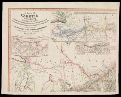
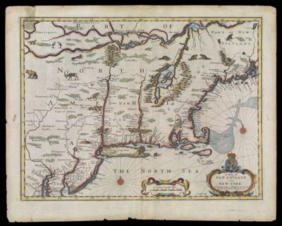
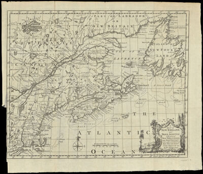
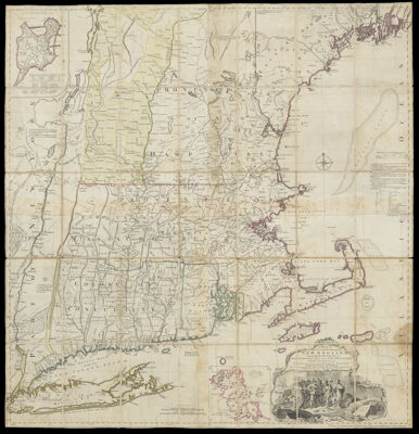
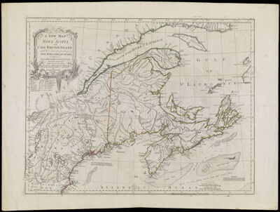
A Map of the most Inhabited part of New England, containing the Provinces of Massachusetts Bay and New Hampshire, with the Colonies of Conecticut and Rhode Island, Divided into Counties and Townships: The Whole composed from Actual Surveys and its Situation adjusted by Astronomical Observations.
Creator: Green, John, active 1730-1753Jefferys, Thomas, 1710-1771Date/Date Range Produced: 1755 - 1768
Language: EnglishRegion Depicted: ConnecticutMaineMassachusettsNew EnglandNew HampshireNew YorkRhode IslandVermontDimensions: H 106 x W 101 cm
Historical Context: Purchased and used by Hugh, Earl Percy who prevented the complete defeat of the British at the Battle of Lexington. Front cover denotes ownership of the map: Ld. Percy New England. Includes light pen and ink traces of added roads which indicate the map was used for strategic planning.
LC Call Number: G3720 1768.J4
OCLC: 986799592
Accession Number: OS-1768-3
Donor: OsherSubjects: Colonial AmericaImage Number: 753.0001

![A Hieroglyphic Geography of the United States Part I Containing the States of Maine, New Hampshire, Vermont, Massachusetts, Rhode Island, Connecticut, and New York. [Title page]](https://cdn1.historyit.com/iiif/2/5f34291499c4a6.60628694/6939d1ddbf5e76.96624048.jpg/full/!400,400/0/default.jpg?no_errors=1)