Vermont's Long Trail : a footpath in the wilderness
Publisher: Wilderness Map CompanyDate/Date Range Produced: 2004
Language: EnglishDimensions: on sheet 46 x 61 cm, folded to 23 x 10 cm
LC Call Number: G3752.L6 W54 2004
OCLC: 57176032
Accession Number: OML-2004-74
Image Number: 57313.0001


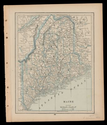
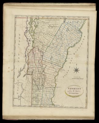
![Gray's Atlas Map of Maine; [Verso] Vermont : New Hampshire](https://cdn1.historyit.com/iiif/2/5f34291499c4a6.60628694/67d815e5c08985.91156596.jpg/full/!400,400/0/default.jpg?no_errors=1)