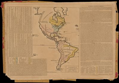
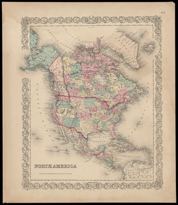
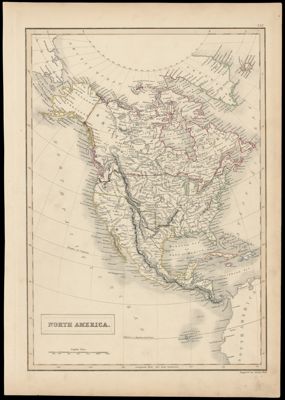
America, with the European Settlements, and the Conquests of Cortes and Pizarro
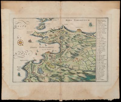
Carte de l'Ancienne Campania Felice Dressée par Camillo Pellegrino Extraite de son Ouvrage sur les...
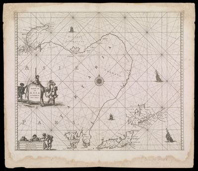
Noordoost cust van Asia van Japan tot Nova Zemla
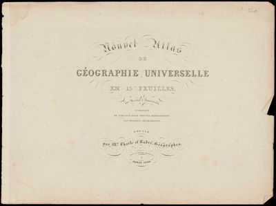
Nouvel Atlas de Geographie Universelle en 15 Feuilles
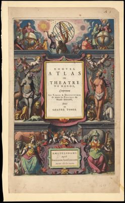
Nouvel Atlas ou Theatre du monde, Comprennant les Tables & Descriptions de toutes les Regions...
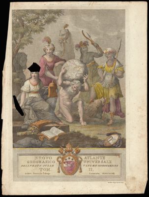
Nuovo Atlante Geografico Universale Tom II
![]()