The Evergreen Playground (Vancouver to Olympia)
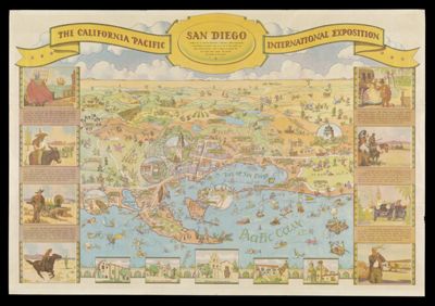
California Pacific International Exhibition
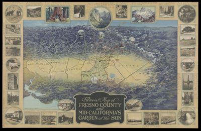
Pictorial Map of Fresno County and Mid-California's Garden of the Sun
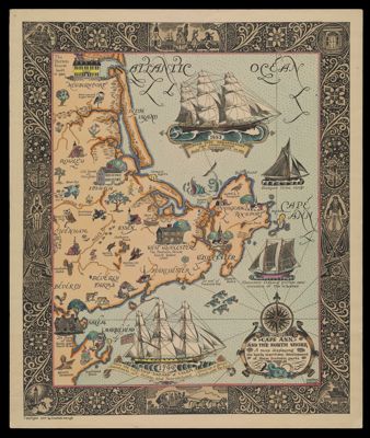
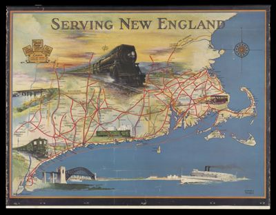
Cape Ann and the North Shore
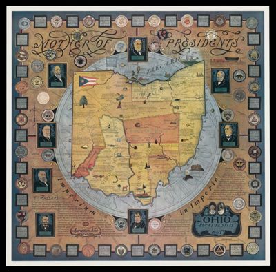
Ohio, Mother of Presidents
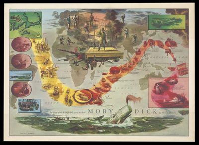
The Voyage of the Pequod from the Book Moby Dick by Herman Melville
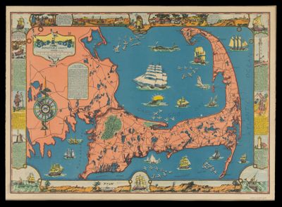
Cape Cod, Barnstable County, Mass.
![]()
