

↑ Parent: Modern Atlas on a New Plan to accompany the System of Universal Geography
Collection: Smith Collection
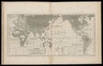
Name: Chart of the Inhabited World: exhibiting the prevailing religion, form of government, degree of civilization & population of each country
Barcode:
Image Number:
Content:
Region Depicted:
Dimensions: 32.5 x 52.5 cm
Notes: The descriptions regarding "degrees of civilization" on this map reflect the white Anglo-Saxon protestant superiority complex that was the common perspective in school geograpies of the time. This perspective categorized cultures in biased and unfair terms.
Permanent URL: