↑ Parent: United States at War American War Atlas
Collection: Osher Collection
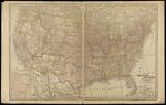
Name: Map of the United States
Barcode: 3915
Image Number: 3915.0002
Creator: George F. Cram Company
Date Published: 1917
Region Depicted: United States
Subjects: United States
Permanent URL: https://oshermaps.org/map/3915.0002