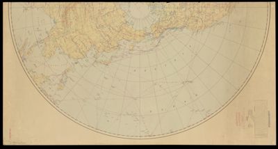
U.S. Army Air Forces strategic air chart, Northern Hemisphere
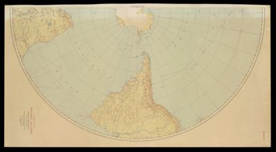
U.S. Army Air Forces strategic air chart, Southern Hemisphere
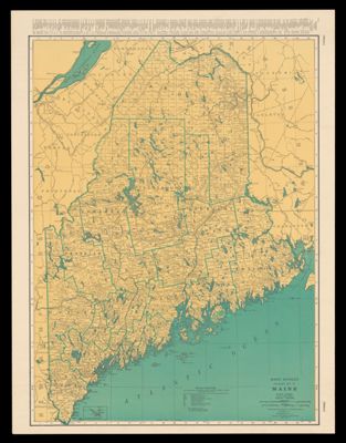
Rand McNally Standard Map of Maine
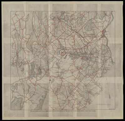
Poland Spring Guide to all Roads and Drives within a radius of 10 miles of...
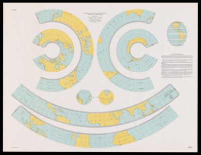
Outline maps for the construction of a model of the world, based on the Lambert...
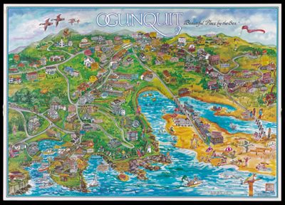
Ogunquit: Beautiful Place by the Sea
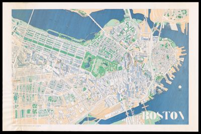
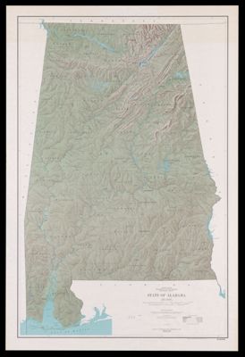
-
![]()