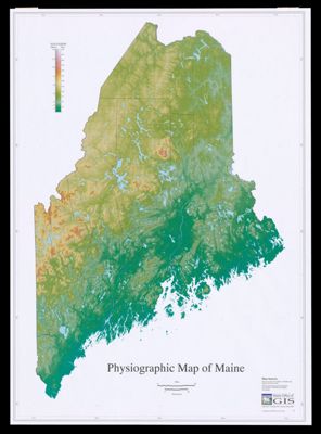
Physiographic map of Maine
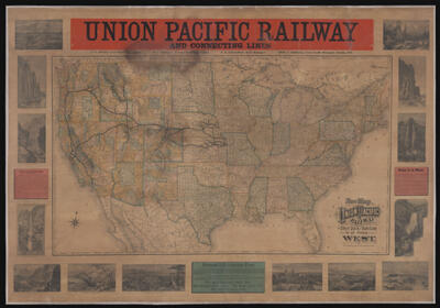
New Map of the Union Pacific Railway the short, quick and safe line to all...

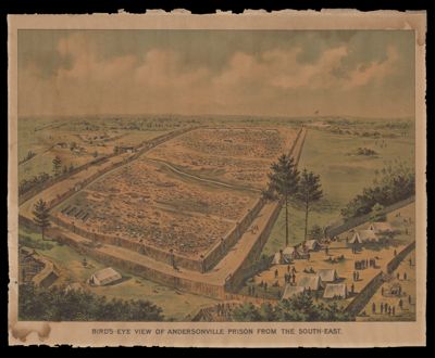
Birds-Eye View of Andersonville Prison from the south-east

National Soldier's Home. Eastern Branch, near Augusta, Me. 1872.
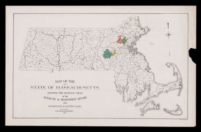
Map of the State of Massachusetts showing the drainage areas of the Sudbury and Shawshine...
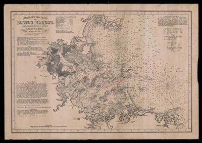
Eldridge's new chart of Boston Harbor : compiled from the latest surveys
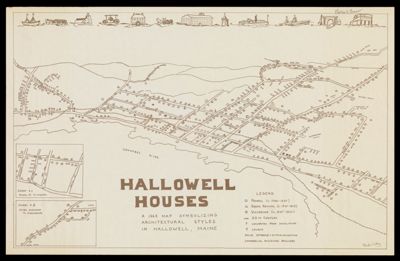
Hallowell Houses : a 1968 map symbolizing architectural styles in Hallowell, Maine
![]()