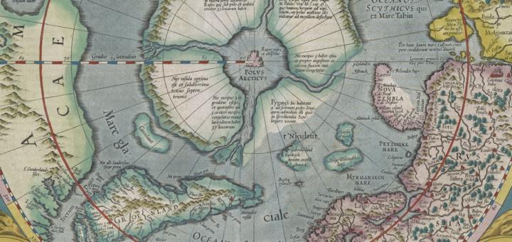
This map represents the second stage in the development of Gerhard Mercator’s map of the north Polar Regions, Septentrionalium Terrarum Descriptio, which was first published posthumously by his son Rumold in the Atlantis Pars Altera (Duisburg, 1595...

Johann Baptist Homann (1664-1724) was a prominent German map engraver and publisher. There is little information on his upbringing, but it is believed that he was self-taught as a copper engraver (French 2001, 361). After working for several printing...
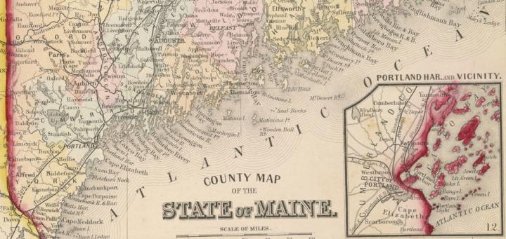
Samuel Augustus Mitchell was one of the most successful American map publishers of the nineteenth century. Born in Bristol, Conn., in 1792, Mitchell grew up to be a teacher. It is believed that, finding the existing geography textbooks to be substand...
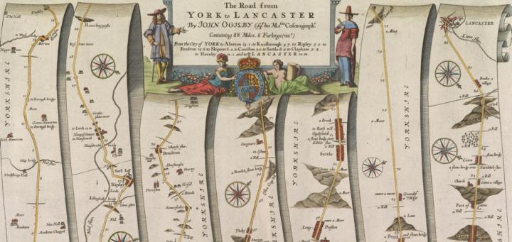
This strip map of the road between York and Lancaster, across England’s Pennine Mountains, was made as part of John Ogilby’s Britannia (1675), which systematically mapped the roads of England and Wales for the first time. This and the other maps ...
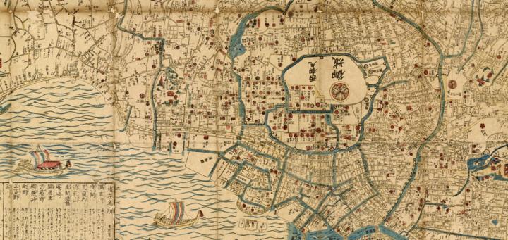
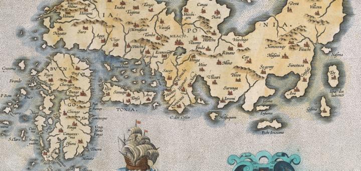
It is possible to understand something of a map’s intended socio-political purpose by analyzing its physical construction and the ideological messages it contains within the appropriate historical context. Take for example the map Bansei on Edo ezu...
Once a people learn how to visually express their cognitive understanding of the lands and worlds that they inhabit, it is perhaps inevitable that some among them will turn their mind’s eye towards the larger areas surrounding their immediate home....

A General Map of the Middle British Colonies in America (Philadelphia, 1755) was drawn by Lewis Evans and printed from a copper plate engraved by James Turner. The map’s coverage extends from Montreal, New France, to the northeast, south as f...
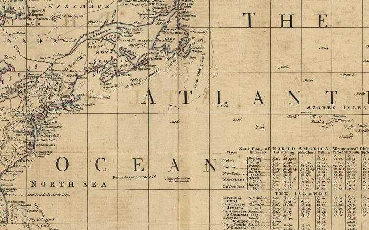
John Green, A Chart of North and South America, including the Atlantic and Pacific Oceans, with the Nearest Coasts of Europe, Africa, and Asia (London: Thomas Jefferys, 1753)....
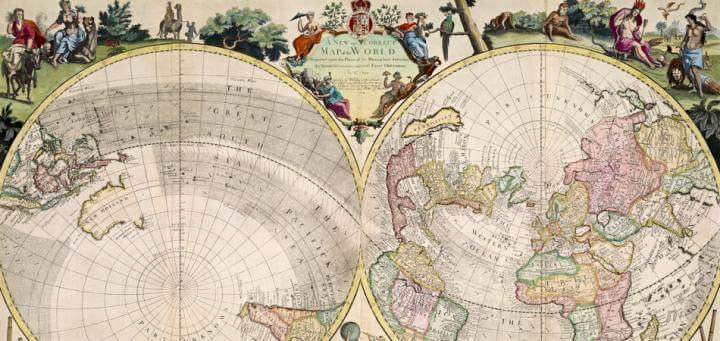
“A New and Correct Map of the World Projected upon the Plane of the Horizon laid down from the Newest Discoveries and most Exact Observations By C. Price Sold by G Willdey at the Great Toy Shop next the Dog Tavern in Ludgate where may be had severa...
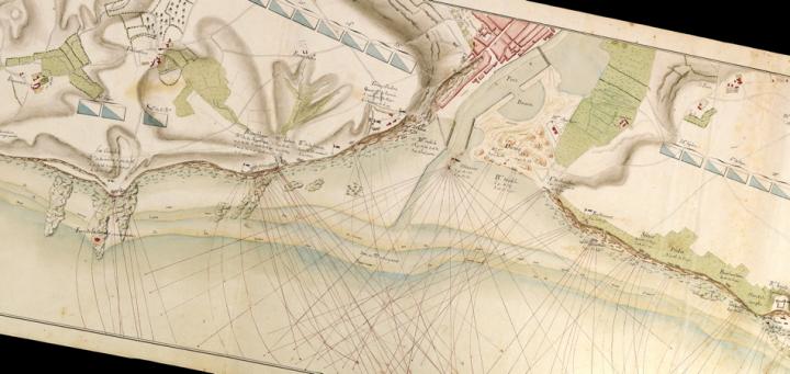
This anonymous manuscript (i.e., hand-drawn) map exemplifies the detailed maps of landscapes and fortifications that were prepared by European military engineers throughout the eighteenth century. The extensive interchange of engineers among the armi...