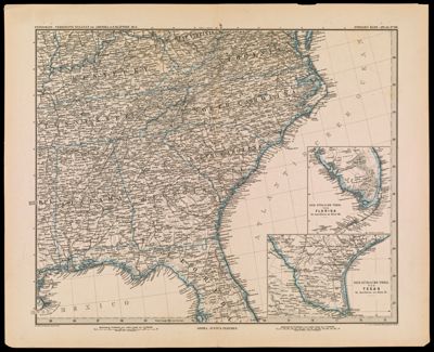
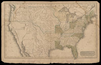
United StatesDate/Date Range Produced: 1828 Language:English Region Depicted:United States Dimensions: 41 x 55 cm Accession Number: ST-1828-18 Donor:Story
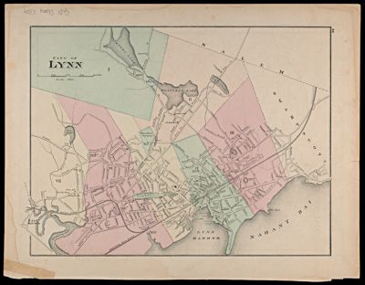
C. W. Hobbs Travellers GuidePublisher:Hobbs, C. W. Date/Date Range Produced: 1884 Language:English Dimensions: 33 x 41 LC Call Number: G3804.N4E635 1884.H6 OCLC: 55132632 Accession Number: ST-1884-33 Donor:Story