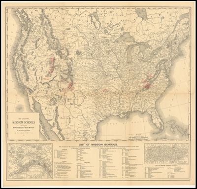
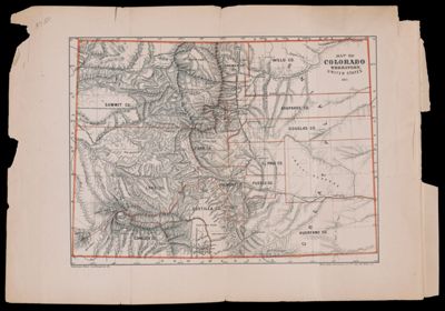
Map Locating Mission Schools under the care of Woman's Board of Home Missions of the Presbyterian ChurchPublisher:Presbyterian Church Language:English Region Depicted:United States Dimensions: Map: 47 x 65 cm on sheet: 66 x 69 cm Historical Context: The Woman's Executive Committee of Home Missions was organized in 1877 to provide schools and teachers for the mission fields in the western and southwestern United States. This included missionaries among Mormons in Utah, Native Americans, Spanish - Speaking peoples and eventually it extended to Alaska, Puerto Rico, Cuba and the Appalachians. LC Call Number: G3701.E424 1901 P7 OCLC: 1004274284 Accession Number: OML-1901-60 Subjects:Presbyterian ChurchReligion
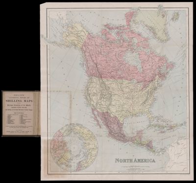
North AmericaPublisher:George Philip & Son Date/Date Range Produced: 1890 Language:English Region Depicted:North America Dimensions: 18 x 13 cm LC Call Number: G3300 1890.G4 OCLC: 953191528 Accession Number: OML-1890-12