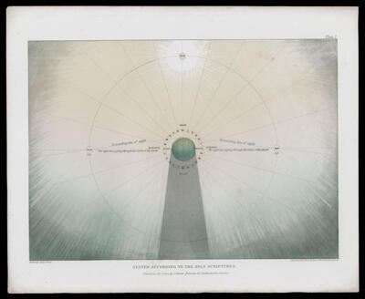
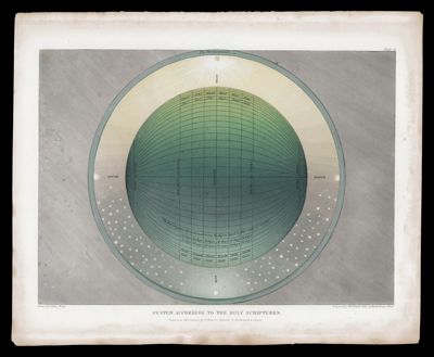
Osher Map Library Sheet Map Collection
4,671 results
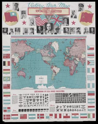
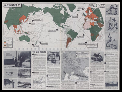
Newsmap, vol. I, no. 21, Monday, Sept. 14, 1942 / Maps are not true for all purposes
Creator: Time, Inc.Washington D.C. Army Orientation Course,Date/Date Range Produced: 1942
Language: EnglishDimensions: 89 x 120 cm
OCLC: 11013660
Accession Number: OML-1942-173
See Also: Newsmap for the Armed ForcesNewsmap, vol. 2, no. 1, Monday, April 26, 1943 / Dig . . . or Die! Fox Holes!Newsmap, vol. 2, no. 11, Monday, July 5, 1943 / Abandon ship!Newsmap, vol. 2, no. 23, Monday, Sept. 27, 1943 / Progress of the war of interest to every American fighting manNewsmap, vol. 2, no. 27, Monday, Oct. 25, 1943 / Target BerlinNewsmap, vol. 2, no. 3, Monday, May 10, 1943 / You may be eligible for the Army Specialized Training ProgramNewsmap, vol. 2, no. 37, Monday, Jan. 3, 1944Newsmap, vol. 2, no. 48F, Monday, March 20, 1944Newsmap, vol. 3, no. 10F, Monday, June 26, 1944Newsmap, vol. 3, no. 15F, Monday, July 31, 1944Newsmap, vol. 3, no. 20F, Monday, September 4, 1944Newsmap, vol. I, no. 33, Monday, Dec. 7, 1942 / The battleground of North AfricaSubjects: World War, 1939-1945
![]()