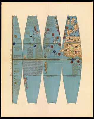
Paris 1675Creator:Taride, A. Date/Date Range Produced: 1675 Language:French Accession Number: OML-18xx-9
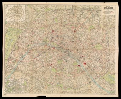
Plan de ParisDate/Date Range Produced: 1923 Language:English Region Depicted:Paris, France Map Type:City maps Dimensions: Cover: 19.5 x 12 cm Map: 75 x 92 cm Accession Number: OML-1923-40