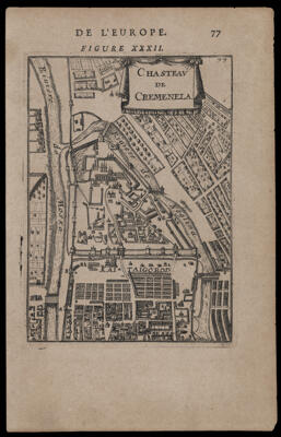
Chasteau de CremenelaPublisher:Aveline, Pierre Language:French Dimensions: H 14 x W 13 cm LC Call Number: G7000.S3 1683 A9 OCLC: 1103323348 Accession Number: OML-1683-8
World Reference Atlas Supplementary to Farm & Fireside the National Farm MagazinePublisher:Crowell-Collier Publishing CompanyFarm & Fireside Date/Date Range Published: 1921 Language:English Map Type:Historical maps Dimensions: 90 x 61 cm Historical Context: Wall map with 3 sheet maps featuring the world, the United States from the French and Indian Wars to about 1921, boundary changes in reconstructed Europe after WWI. Includes an index-gazetteer of the world, maps of Maine, Vermont and New Hampshire and Southern New England. Includes colored illustrations of flags of different countries. LC Call Number: G3201.S65 1921 C7 Accession Number: OML-1921-123

![[Hand written agreement...]](https://cdn1.historyit.com/iiif/2/5f34291499c4a6.60628694/66e9c921795556.20961184.jpg/full/!400,400/0/default.jpg?no_errors=1)