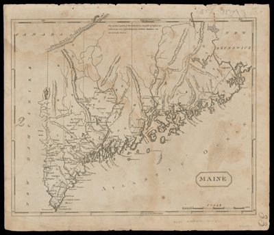
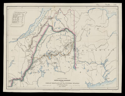
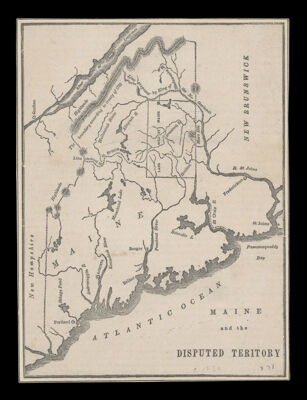
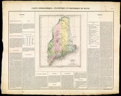
Maine and the Disputed Territory
Creator: Anonymous / Unknown AuthorPublisher: Family MagazineDate/Date Range Produced: 1838
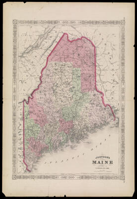
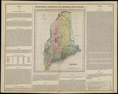
Language: EnglishRegion Depicted: MaineQuébec, CanadaMap Type: Boundary mapsGeographicalDimensions: 20 x 15 cm
Printing Process: EngravingMaterial Type: PaperHistorical Context: Maine?s northern boundaries, the U.S. northeastern boundary, remained contested after the Revolutionary War. The dispute heated up in the 1830s and led to the military stand-off known as the Aroostook War. The real threat of war led the U.S. and Britain finally to compromise on the boundary in the 1842 Treaty of Washington, better known as the Webster-Ashburton Treaty. As with most political compromises, it was universally despised. The keen interest in the affair generated many maps on both sides of the Atlantic. Many of the maps accompanied newspaper or magazine articles and few have survived.
OCLC: 47709828
Accession Number: SM-1838-28
Donor: SmithSubjects: BorderlandsNortheast boundary of the United StatesTreaties