Smith Sheet Map Collection
429 results
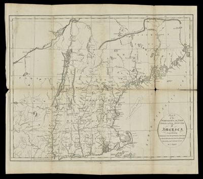
Map of the northern, or, New England states of America : comprehending Vermont, New Hampshire, District of Main, Massachusetts, RhodeIsland, and Connecticut
Creator: Russell, John, active 1733-1795Symonds, H. D. (Henry Delahoy)Date/Date Range Produced: 1795
Region Depicted: ConnecticutMaineMassachusettsNew EnglandNew HampshireRhode IslandVermontDimensions: H 43 x W 47.7 cm
OCLC: 54674844
Accession Number: SM-1795-36
Donor: Smith
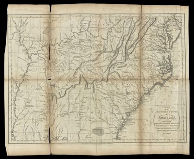
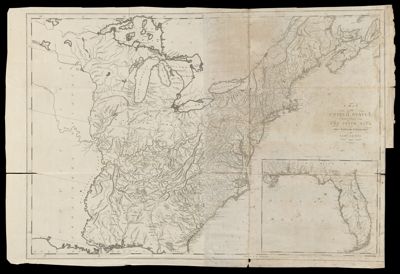
Map of the southern states of America : comprehending Maryland, Virginia, Kentucky, Territory s'th of the Ohio, North Carolina, Tennessee Governm't., South Carolina, & Georgia
Creator: Russell, John, active 1733-1795Symonds, H. D. (Henry Delahoy)Date/Date Range Produced: 1795
Region Depicted: GeorgiaKentuckyMarylandNorth CarolinaOhioSouth CarolinaSouthern StatesTennesseeVirginiaDimensions: H 42.5 x W 51.6 cm
OCLC: 24599379
Accession Number: SM-1795-37
Donor: Smith
![]()