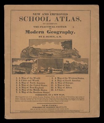
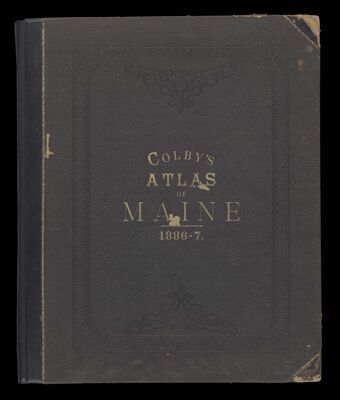
Colby's Atlas of the State of Maine : including statistics and description of its history, educational system, geology, railroads, natural resources, summer resorts and manufacturing interests compiled and drawn from official plans and actual surveys and published by Colby & Stuart
Author: Bourquin, Fredrick & Co.Bracher, Wm. (William)Publisher: Colby & StuartDate Produced: 1887
Language: EnglishDimensions: Cover: H 44 x W 36 cm Foldout map: H 85 x W 65 cm
Physical Description: 1 atlas: (94, [9] pages), illustrations, colored maps (1 folded)
LC Call Number: G1215 1887 .C6
OCLC: 55519729
Accession Number: OS-1887-2
Donor: Osher