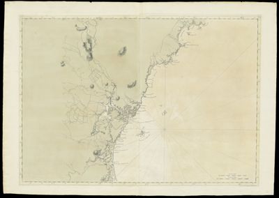
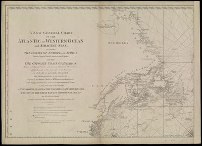
A New and General Chart of the Atlantic or Western Ocean and adjacent seas, including the coasts of Europe and Africa from 60 degrees North Latitude to the Equator, and also the opposite coast of America: Drawn and regulated by the most accurate astronomic observations, and the journals of the most experienced navigators, in which also are particularly distinguished. The determinations of the longitude as given by the marine clocks of Mr. Ferdinand Berthoud, in the voyage performed by order of the government of France, in 1768 and 1769, in the ship Isis, to the Azores, Madera, The Canaries, Cape-Verd Islands, St. Domingo, The Great Bank of Newfoundland, &ca.by Mr. De Fleurieu, an officer in the French Navy and Member of the Royal Marine Academy & ca.
Creator: Fleurieu, C. P. Claret (Charles Pierre Claret), comte de, 1738-1810Publisher: Robert Sayer and John Bennett (Firm)Purveyor: Robert Sayer and John Bennett (Firm)Date/Date Range Produced: 1777
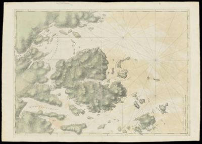
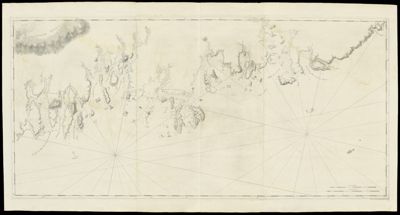
Language: EnglishRegion Depicted: ConnecticutDelawareMaineMaritime ProvincesMarylandMassachusettsMiddle Atlantic StatesNew EnglandNew HampshireNew JerseyNew York (State)Newfoundland and LabradorNova ScotiaPennsylvaniaRhode IslandVermontVirginiaMap Type: Nautical chartsDimensions: H 53.1 x W 73.8 cm
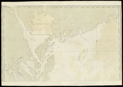
Printing Process: EngravingMaterial Type: PaperHistorical Context: In his "New General Chart of the Atlantic or Western Ocean and Adjacent Seas," de Fleurieu placed great emphasis on geographic accuracy as determined by astronomical observations for latitude and longitude. On this English edition of one of his charts, two prime meridians--the starting line of zero degrees longitude--are indicated by longitude scales at the top of the chart: one, located at the Greenwich Observatory in England; the other, positioned in Paris. A third scale at the bottom of the chart shows Time in hours and minutes, in effect another way of indicating longitude. Even latitude, with its fixed reference points of the equator and poles, is marked off in two different scales. Latitude on the left-hand margin of the chart is measured in degrees, while latitude on the right-hand margin is expressed in marine leagues. Many other features of the ocean--all of importance to mariner--are indicated: magnetic variation; ocean currents; soundings (or lack of); bottom character; fog-bank limit; tidal effects; and, landmarks as viewed from seaward.
OCLC: 856541603
Accession Number: OS-1777-1
Donor: Osher
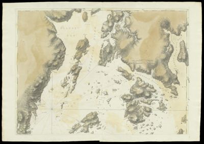
![[Coast of Maine - Two Views of Wolves Islands at Entrance of Passamaquoddy Bay]](https://cdn1.historyit.com/iiif/2/5f34291499c4a6.60628694/660c05f5428561.90663406.jpg/full/!400,400/0/default.jpg?no_errors=1)