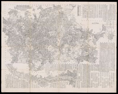
Bartholomew's Pocket Plan of EdinburghDate/Date Range Produced: 1921 Language:English Dimensions: 50 x 63 cm on sheet 52 x 75 cm LC Call Number: G5774.E2 1921 .B3 OCLC: 232550629 Accession Number: YEN-1921-34 Donor:Yensen
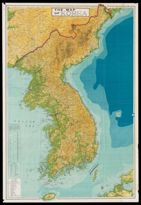
The Map of KoreaDate/Date Range Produced: 1959 Language:English Region Depicted:Korea Dimensions: 28 x 39 cm Accession Number: YEN-1959-98 Donor:Yensen