


Collection: Smith Collection
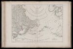
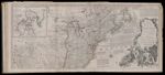
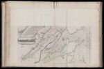
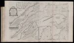
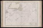
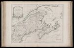
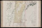
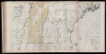
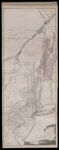
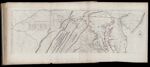
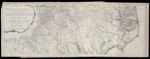
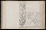
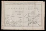
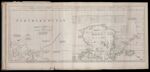
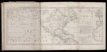
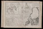
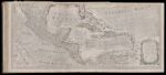
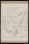
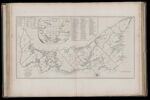
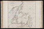
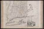
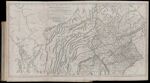
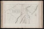
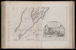
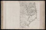
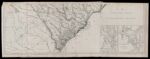
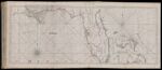
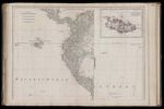
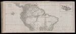
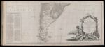
Name: A Map of the Island of St. John In the Gulf of St. Laurence Divided Into Counies & Parishes And the Lots, as Granted by the Government. to which are added The Soundings round the Coast & Harbours, Improv'd from the late Survey of Captain Holland.
Barcode:
Image Number:
Permanent URL:
Creator:
Date Published: Apr 6th, 1775
Content:
Subjects:
Full Title: A Map of the Island of St. John In the Gulf of St. Laurence Divided Into Counies & Parishes And the Lots, as Granted by the Government. to which are added The Soundings round the Coast & Harbours, Improv'd from the late Survey of Captain Holland. Published as the Act direct April 6, 1775.
Surveyor:
Publisher:
Language:
Region Depicted:
Dimensions: Map: H 36 x W 69.5 cm on sheet: H 54.5 x W 75.5 cm
Printing Process:
Printing Technique: