New England was one of the landscapes that road map art helped to popularize with the traveling family. The region was depicted as a welcoming place, attractive for both its rugged natural features and its quaint, rustic towns. Images of pristine nucleated villages with white-steeple churches predominated, but depictions of lobster fishermen, maple sugaring, and lighthouses were also popular themes. All these images helped to reinforce the idea of New England as a place of small, oftentimes coastal, towns untouched by heavy industry and urbanization, and the perfect destination for families hankering for the experience of the simple “traditional” American culture.
img/flat/tre64.jpg
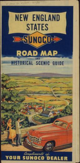
Sunoco
New England States Road Map and Historical Scenic Guide
Chicago: Rand McNally & Company, 1948
Bloom Collection

img/flat/tre65.jpg
Esso Standard Oil Company
Southern New England, Massachusetts, Connecticut, Rhode Island
New York: General Drafting Co., Inc., 1949
Bloom Collection
img/flat/tre66.jpg
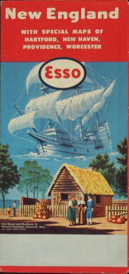
Esso
New England: With Special Maps of Hartford, New Haven, Providence, Worcester
New York: General Drafting Co., Inc., 1949
Bloom Collection
img/flat/tre67.jpg
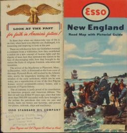
Esso Standard Oil Company
New England Road Map with Pictorial Guide
Convent Station, N.J.: General Drafting Co., 1952
Doug Yorke Collection
img/flat/tre68.jpg
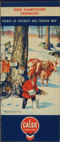
Calso Gasolines
New Hampshire, Vermont Points of Interest and Touring Maps
Chicago: H. M Gousha Company, 1957
Bloom Collection
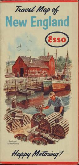
img/flat/tre69.jpg
Esso, Humble Oil & Refining Company
Travel Map of New England
Convent Station, NJ: General Drafting Co., Inc., 1963
Bloom Collection