Collection: Osher Map Library Collection
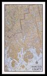
Name: The Phillips Map of Hancock County
Barcode: 53480
Image Number: 53480.0001
Publisher: Augustus D. Phillips & Son
Date/Date Range Produced: 1968
Date/Date Range Published: 1968
Dimensions: 64 x 38 cm
Accession Number: OML-1968-177
Permanent URL: https://oshermaps.org/map/53480.0001