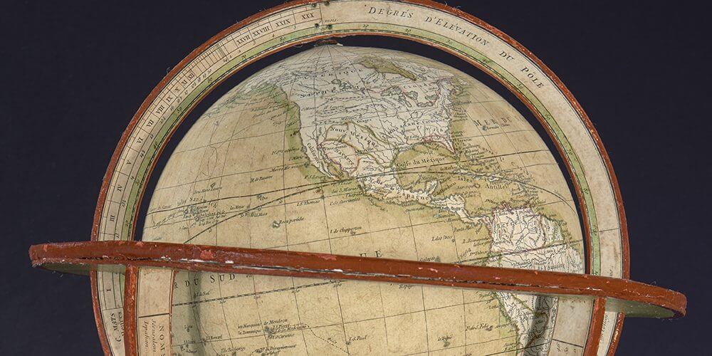
OML’s Digital Imaging Center is engaged in an innovative project to three-dimensionally image the library’s rare globe collection, the second-largest of its kind in a U.S. public institution. Generous grants from the National Endowment for the Humanities and the Friends of the Osher Map Library supported the conservation and subsequent 3D imaging of the collection’s most threatened or valuable items. Digitization makes it possible for students and members of the public to manipulate and examine the rare globes online, preventing potential handling damage to these delicate objects. In this web exhibit you will find all of OML’s currently digitized globes in one place, together with exemplary globe manuals that were created for use by students, scholars, and the general public.
A brief account is also availble of the process by which the globes are imaged in three dimensions