Sort By:
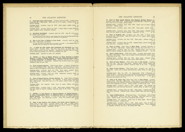
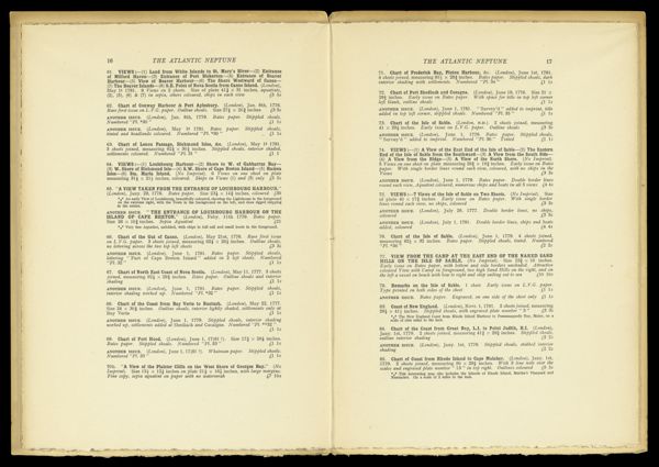
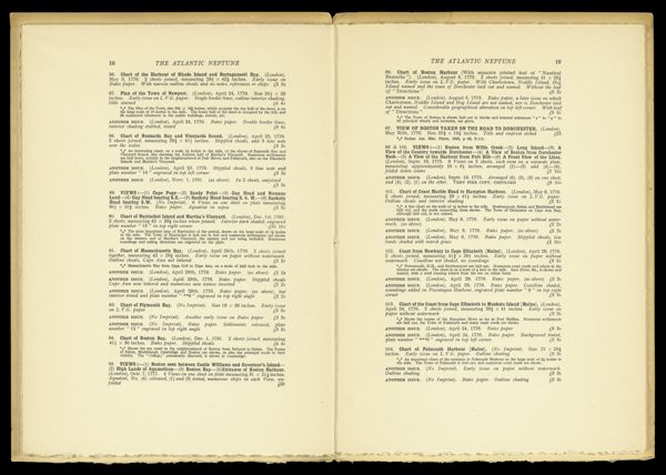
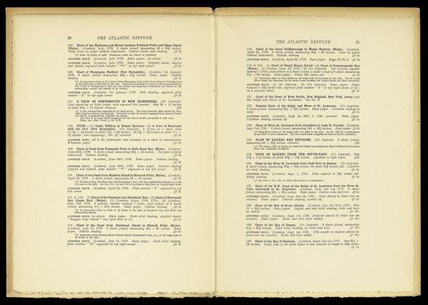
![Some Biographical and Bibliographical Notes on The Atlantic Neptune with descriptions of (i) The I.N. Phelps Stokes - Stevens Collection [...]](https://cdn1.historyit.com/iiif/2/5f34291499c4a6.60628694/685ec44bbd96d9.59376867.jpg/full/!600,600/0/default.jpg?no_errors=1)
CreatorDes Barres, Joseph F. W. (Joseph Frederick Wallet), 1729-1824
PublisherDes Barres, Joseph F. W. (Joseph Frederick Wallet), 1729-1824
SurveyorHolland, Samuel, 1728-1801
LanguageEnglish
Region DepictedMaine coastPassamaquoddy Bay
Map TypeGeographicalNautical charts
Dimensions44238.0001: Chart: 75.5 x 119 cm on sheet: 85.8 x 122 cm; 44238.0002: sheet approximately: 85.8 x 235 cm
Printing ProcessEngraving
Material TypePaper
Accession NumberOS-1777-13.2
See AlsoA Chart of Delawar Bay.Chart of Coast from Pemaquid Point to Owl's Head Bay [sheet 1 of 2]Chart of Coast from Pemaquid Point to Owl's Head Bay [sheet 2 of 2]Chart of Coast from Pemaquid Point to Owls Head BayChart of Falmouth HarbourChart of Falmouth HarbourChart of Falmouth HarbourChart of Passamaquody BayChart of Penobscot Bay (Upper Part)Chart of the Coast from Burntcoal Island to Skulock PointChart of the Coast from Cape Elizabeth to Musketo IslandChart of the Coast from Cape Elizabeth to Musketo Island Chart of the Coast from Musketo Island to Skuttock PointChart of the Coast Goldsborough to Moose Harbor [Sheet 2 of 3]Chart of the Coast Goldsborough to Moose Harbor [Sheet 3 of 3]Chart of the Coast Goldsborough to Moose Harbor. [Sheet 1 of 3]Chart of the Coast Goldsborough to Moose HarbourChart of the Coast of GeorgiaChart of the Entrance into Penobscot BayChart of the Entrance into Penobscot BayChart of the Harbours and Rivers between Portland Point and Stage IslandCharts of the Coast and Harbors of New England [...] [Title page]Coast from Newbury to Cape ElizabethFalmouth Harbor Portland Sound [facsimile]Notes Biographical and Bibliographical on The Atlantic NeptuneNotes Biographical and Bibliographical on The Atlantic Neptune [Front cover]The Coast of New England.Untitled Chart of the Coast of MaineViews: (I) Mechios River near the Mills. (II) A Sketch of Mechios Mills[Boston Harbor Chart Des Barres] [facsimile][Coast of Maine - from Spurwink River to Moose Point] [or, from Musketo Island to Cape Elizabeth, including Kennebec River] [facsimile][Coast of Maine - Two Views of Wolves Islands at Entrance of Passamaquoddy Bay][Coast of Maine]
DonorOsher
SubjectsAmerican Revolution, 1775-1783Maine coastMaps--Early works to 1800