

Collection: Osher Map Library Collection
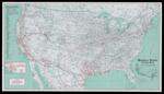
Name: Southern Pacific cotton belt, serving the West and Southwest with trains, trucks, intermodal, pipelines
Barcode:
Image Number:
Publisher:
Date/Date Range Produced:
Date/Date Range Published:
Language:
Dimensions: H 45.5 x W 80.5 cm
Notes: Map of the United States, includes inset of "Los Angeles and vicinity," and inset of U.S. showing services.
LC Call Number: G3701.P3 1980 .R36
OCLC: 231579525
Accession Number: OML-1980-144
Permanent URL: