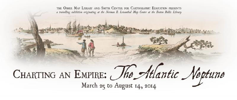

OML is pleased to present a subset of Charting an Empire, the two-part exhibition curated by Stephanie Cyr and Ronald E. Grim and originally installed in 2013 at the Norman B. Leventhal Map Center of the Boston Public Library.
The period following the French and Indian War (1754-1763) was a time of change and discovery in North America. In this display of charts, views, and maritime objects, we look at the decade following the war, when Britain set out to accurately chart the coast and survey the inland areas of their new resource-rich empire in Atlantic Canada, as well as the eastern seaboard extending from New England to the West Indies. The resulting charts were published collectively by Joseph Frederick Wallet Des Barres in The Atlantic Neptune, a maritime atlas which set the standard for nautical charting for nearly half a century.
Using nearly 25 items dating from the 18th century to the present, this exhibition examines the importance of accurate charting of the new empire, defines how Britain put her mark on the land, and explores the complex processes of marine surveying and nautical chart production.
To see the full, original exhibition, please visit the official exhibition web site.
A checklist of OML’s installation is available.
OML Credits:
OML is most grateful for the loan of items from both the Leventhal Map Center, Boston Public Library, and the Jay I. Kislak Foundation, Miami.
Renee Keul, OML’s Outreach Coordinator, designed the logos for the website; Camille Buch prepared the informational postcard. The Exhibition Checklist was prepared by Heather Magaw, OML’s Administrative Assistant.
Additional technical services were provided by David Neikirk, OML’s Digital Imaging Manager, and Stuart Hunter of Casco Bay Framing. The assistance of the USM staffs of the Marketing and Brand Management and Public Affairs Office is gratefully acknowledged.