
[expand title="EXHIBIT NAVIGATION"] 20th century maps of the Soviet Union Russia, The Soviet Union, and the World Большой Советский атлас мира I атласъ азіатскoй рoссіи 1914 Полит�...

The Great Soviet World Atlas I was printed in 1937 in Moscow under the direction of Dr. V. E. Motylev who headed a Scientific Editorial Institute formed by order of the Central Executive Committee in 1933. This tome-like atlas is impressive in its si...

[expand title="EXHIBIT NAVIGATION"] 20th century maps of the Soviet Union Russia, The Soviet Union, and the World Большой Советский атлас мира I атласъ азіатскoй рoссіи 1914 Полит�...
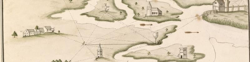
October 16, 2014 ~ February 26, 2015 ... Hand-drawn maps are works of art, both in the modern sense of aesthetic design and in the older sense of craft and skill. Also known as manuscripts ~ from the Latin for written (script) by hand (manu) ~ hand-d...
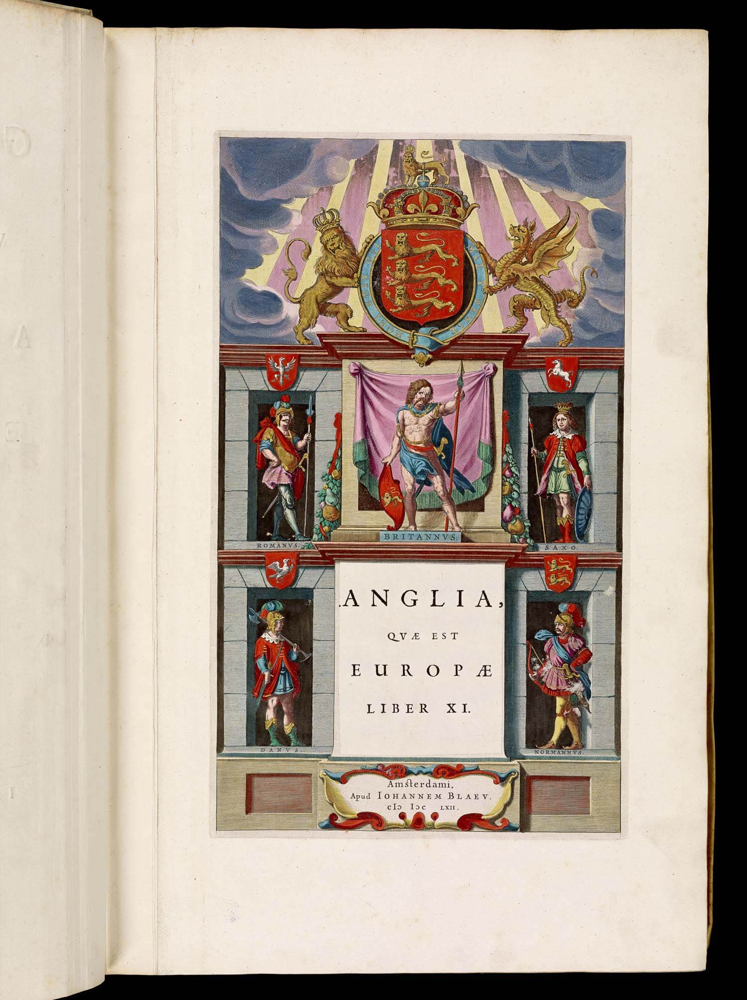
Three more volumes of Joan Blaeu’s Atlas Major, sive cosmographia have been posted to the site: volume 3, covering “Germania” [van der Krogt, 2:601[-3].3]; volume 4, covering “The Low Countries” [van der Krogt, 2:601[-3].4]; and volume 5, c...

The Portsmouth Historical Society is celebrating the 400th anniversary of Capt. John Smith's sailing down the coast of what he would later call New England with an exhibition detailing the history of the mapping of the Piscataquis Region of Maine and...

Many European nations attempted New World colonies during the 17th century, but odds are that you have never heard of Scotland's attempt at imperialism. Unfortunately for the Scottish colonists, the colonial effort was placed in one of the harshest e...
The (London) Guardian had a great piece in yesterday's newspaper on the representation of Africa in early and modern maps. Give it a read!The essay, by James Wan, originally appeared in the blog Think Africa, and explores the persistent ways in ...
...for Junior Cartographers How to Enter Be age 14 or under! Use a piece of paper (Max Size: 11x17 inches) and whatever art medium you prefer (paint, crayons, markers, etc.) OR use a computer program. Create a map of an imaginary continent in e...
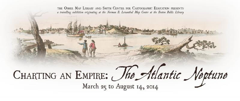
March 25, 2014 ~ August 14, 2014 ... OML is pleased to present a subset of Charting an Empire, the two-part exhibition curated by Stephanie Cyr and Ronald E. Grim and originally installed in 2013 at the Norman B. Leventhal Map Center of the Boston ...