
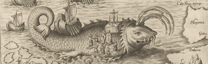
Items 46 through 49 These images from the Illustrated London News depict the harsh conditions endured by the various expeditions sent to rescue Captain Sir John Franklin between 1848 and 1878. Captain Franklin departed from England for the Arc...
In 1906 Norwegian Roald Amundsen became the first to navigate the Northwest Passage entirely by ship. Amundsen used a small crew of six men and a 45-ton herring boat, the Gjøa, to deftly navigate the narrow channels of the passage. During thei...
Upon Joseph Nicholas De L'Isle's return to Paris in 1747, he published the Carte Des Nouvelles Découvertes Au Nord de la Mer de Sud . . . 1750, (Item 19) The French cartographic community was gripped with an intense period of scientific inquiry into...
September 29, 2016 ~ March 11, 2017 ... One of the greatest stories of exploration and discovery is the quest for the Northwest Passage, an oceanic shortcut from the Atlantic to the Pacific across the top of North America. Tempted with the prospect...
By Hometown | By School | By Name By Hometown Alfred, Maine 8. Unicorn Island by Cassidy H. (Chapter: Humorous) 120. Greatland Island by Zach O. (Chapter: Imaginary Lands) 122. Saphire Island by Kera N. (Chapter: Imaginary Lands) 124. B...
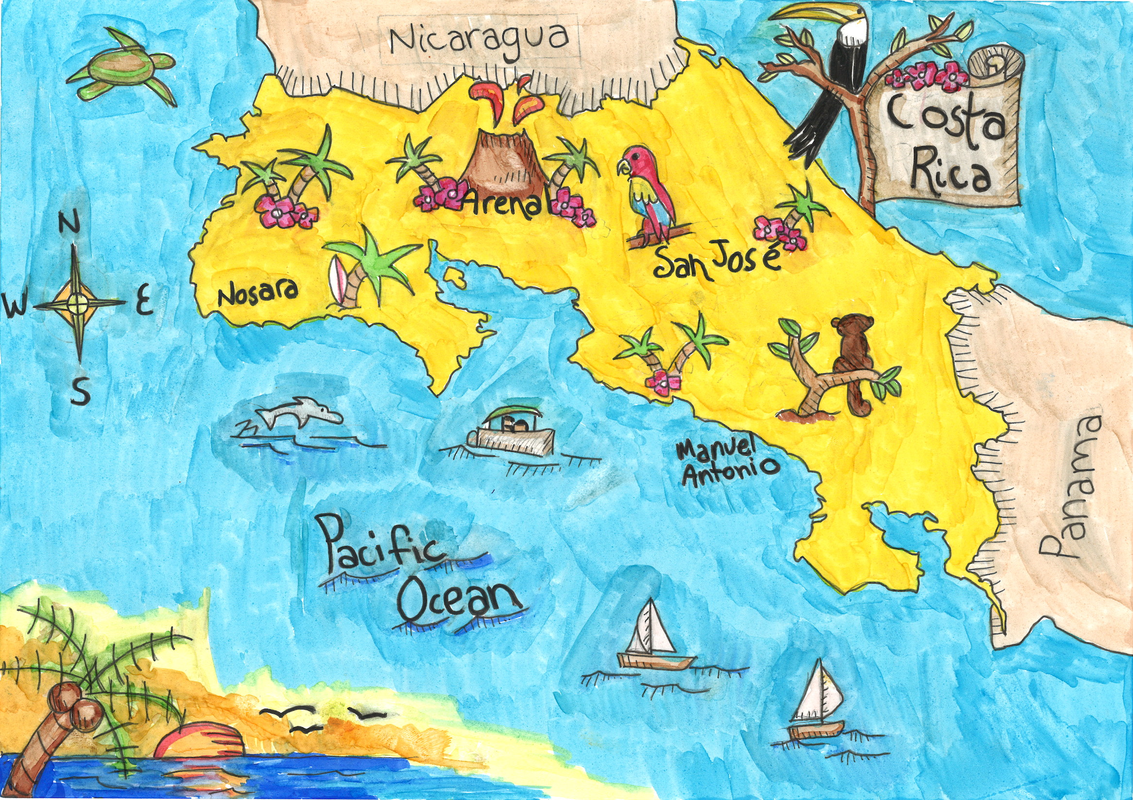
These are maps that made us laugh out loud. Well done, Cassidy, Riley, Dante, and Taylor. Well done. 8. Unicorn Island "Unicorn Island"Cassidy H. of Alfred, MaineAlfred Ele...
These maps show places from myths and works of fiction. 1. Neverland "Neverland"Lizzy G. of Gardiner, MaineRiverview Community School 2...
The Challenge: Create an illustrated map of any place, real or imaginary. The Result: Almost 150 amazing maps by Maine 5th Graders! We're so proud of our contest's maps that we want to give you a chance to see all of the maps submitted. They are ...
...
See something you want to share? Follow us on Pinterest...