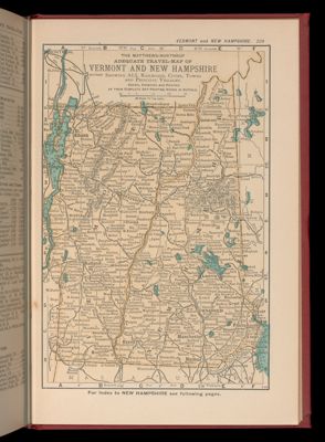
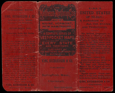
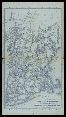
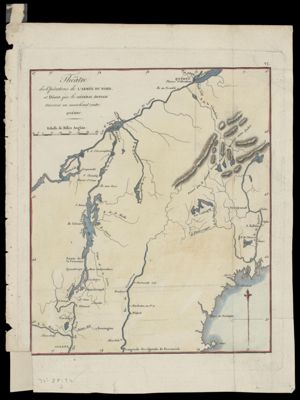
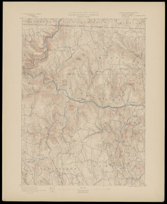
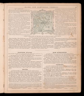
Showing 101-110 of 385 results

Sort By:

Map of Maine
Map of Maine
Creator:
Publisher:
Date/Date Range Produced: 1891
Language:
Region Depicted:
Map Type:
Dimensions: Cover: 14 x16 cm.; 2 maps: each 34 x 26 cm.
Material Type:
OCLC: 856535201
Accession Number: OS-1891-9
Donor:
Subjects:
Image Number:


General Map of the Principal Automobile Routes in Maine with connections to the Provinces
Creator:
Publisher:
Date/Date Range Produced: 1910
Language:
Region Depicted:
OCLC: 777221205
Accession Number: OS-1910-88
Donor:
Donation Date: Jan 1st, 2012
Image Number:


Atlas of Washington Co. Vermont
Author:
Publisher:
Date Produced: 1873 - 1971
Language:
Dimensions: 41 x 32 cm
LC Call Number: G1228.W3 B4 1971
OCLC: 472214967
Accession Number: OML-1971-165


Massachusetts - Vermont Hawley Sheet
Language:
Image Number:


Maine, New Hampshire, and Vermont.
Content:
Language:
Region Depicted:
Image Number:


Town and County Map of Vermont
Content:
Dimensions: H 25 X W 17 cm
Image Number:


Vermont and New Hampshire Buildings
Content:
Image Number:


Geography: Vermont Situation and Extent
Creator:
Date Created: 1794
Content:
Language:
Image Number:


Atlas of the county of Orange, Vermont
Publisher:
Date Produced: 1877
Language:
Physical Description: 1 atlas (90 pages) : color maps ; 41 cm
LC Call Number: G1228.O7 B4 1877
OCLC: 166641633
Accession Number: CCA,D,M-1877-31
Donor:
Image Number:


The atlas of Vermont trout ponds
Date Produced: 1987
Physical Description: 1 atlas (174 p.) : ill., maps (some col.) ; 22 cm
LC Call Number: G1226.E63 N6 1987
OCLC: 16890649
Accession Number: GIB-1987-62
Donor:
Donation Date: Mar 7th, 2013
Image Number: