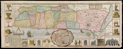
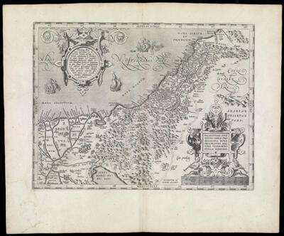
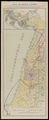
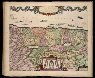
Showing 11-20 of 78 results

Sort By:


Map of Bible Lands
Map of Bible Lands
Publisher:
Date/Date Range Produced: 1895
Language:
Region Depicted:
Map Type:
Dimensions: 69 x 28 cm. folds into 18 x 10 cm.
Material Type:
Accession Number: MOR-1895-111
Donor:
Subjects:
Image Number:


Terra Sancta quae in Sacris Terra Promissionis olim Palestina
Creator:
Atlas Reference:
Publisher:
Date/Date Range Produced: 1629
Language:
Region Depicted:
Map Type:
Dimensions: 38 x 50 cm. on sheet 56 x 66 cm.
Printing Process:
Material Type:
Historical Context: Willem Blaeu acquired the copperplates of the atlas maps engraved and published by Jodocus Hondius, Jr. and published 34 of them in 1630 as part of his first atlas. This map is also part of the Atlas Maior published by Joan Blaeu in 1664-65, vol. 9 Dutch edition.
OCLC: 826027125
Accession Number: OS-1664-2
Donor:
Image Number:


Lands Away
Lands Away
Publisher:
Language:
Dimensions: 16 x 23 cm
LC Call Number: G138 1930.B6
OCLC: 1417603256
Accession Number: OML-1930-272
Image Number:


Civitas Ihervsalem [side two]
Creator:
Atlas Reference:
Publisher:
Date/Date Range Produced: 1486
Language:
Region Depicted:
Map Type:
Dimensions: 28 x 128 cm.
Printing Process:
Material Type:
LC Call Number: G7500 1486 .B7
OCLC: 743299276
Accession Number: OS-1486-1
Donor:
Image Number:


Civitas Ihervsalem
Civitas Ihervsalem
Creator:
Atlas Reference:
Publisher:
Date/Date Range Produced: 1486
Language:
Region Depicted:
Map Type:
Dimensions: 28 x 128 cm
Printing Process:
Material Type:
LC Call Number: G7500 1486 .B7
OCLC: 743299276
Accession Number: OS-1486-1
Donor:
Image Number:


The Holy Land
The Holy Land
Author:
Date Produced: 1996
Physical Description: 480 pages : illustrations (some color), color maps ; 24 cm
LC Call Number: DS103 .H5828 1996
OCLC: 35952549
Accession Number: OML-1996-85
Donation Date: Apr 1st, 2015
Image Number:


Vera Hierosolymae Veteris Imago a Ioanne Baptista Villalpando Cordvbensi e Societate Iesv Elaborata Pro Svo Vrbis ac Templi Hierosolymitani Apparatv Collato Stvdio Cvm P. Hieronymo Prado Ex Eadem Societate Romae Superiorum permissu cum Priuilegio Summi Pontificus Imperatoris Regis Catholici ac Senatus Veneti
Creator:
Date/Date Range Produced: 1604
Language:
Region Depicted:
Map Type:
Dimensions: H 72 x W 78 cm
Printing Process:
Material Type:
Historical Context: Villalpando was a Jesuit architect and scholar whose imaginary map of ancient Jerusalem was based on Biblical accounts. In the belief that Solomon's Temple was the symbol of the heavenly Jerusalem to come, Villalpando created a detailed pictorial reconstruction and plan of the Temple patterned after the prophet Ezekiel's visionary description. A miniature version of his plan appears at the bottom center of the map. Several other Biblical sites are depicted within the city, including a circular City of David (upper left). Roman encampments and Biblical monuments are seen outside the walls. Villalpando's scholarship was widely respected and his conceptions of Solomon's Temple and ancient Jerusalem were accepted and copied for more than a century.
Accession Number: OS-1604-1
Donor:
Subjects:
Image Number: