A map of Penobscot Bay and approaches
The Phillips Map of Hancock County
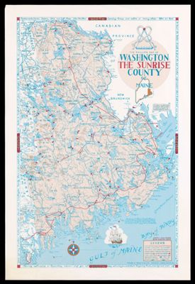
The Phillips Map of Washington The Sunrise County of Maine
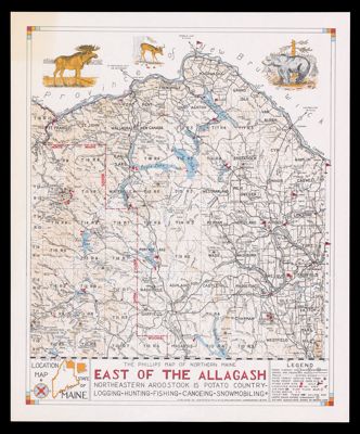
The Phillips map of northern Maine east of the Allagash : northeastern Aroostook is potato...
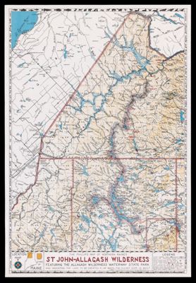
The Phillips map of northern Maine's St John-Allagash Wilderness : featuring the Allagash Wilderness Waterway...
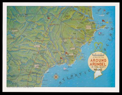
A Phillips Map Around Arundel in York County Maine
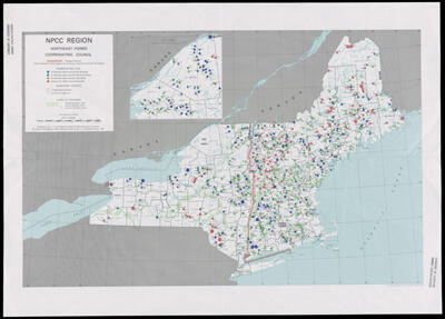
NPCC Region : Northeast Power Coordinating Council
![]()