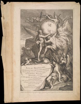
Atlas Francois, Contenant les Cartes Geographiques
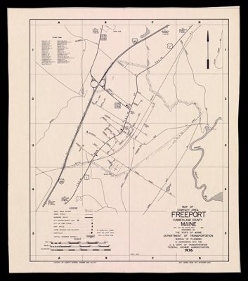
Map of Compact Area Freeport Cumberland County Maine
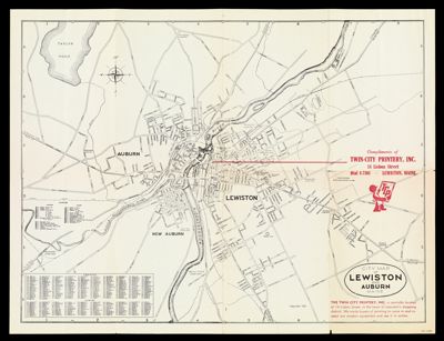
City Map of Lewiston and Auburn Maine
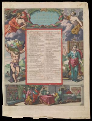
Table Des Cartes etc: Du Sr. Saanson [Atlas Nouveau Amsterdam]
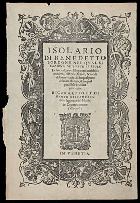
Isolario Di Benedetto Bordone Nel Qual Si Ragiona Di Tutte Le Isole Del mondo, con...
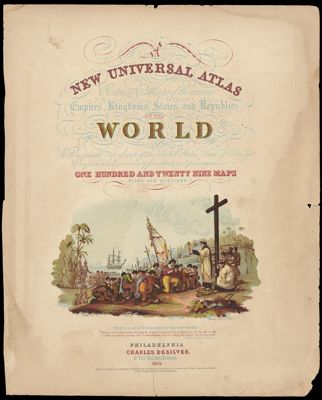
A New Universal Atlas Containing Maps of the Various Empires, Kingdoms, States and Republics of...
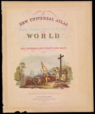
A New Universal Atlas Containing Maps of the Various Empires, Kingdoms, States and Republics of...
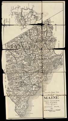
Cyclist's Road Map of Maine : prepared expressly for the Maine Road = Book
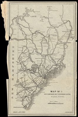
Map No. 1 : New Hampshire to Kennebec River
![]()