
Leo Belgicus, the allegorical representation of the Low Countries as a lion, was a popular image during the Eighty Years War for independence from the Spanish.
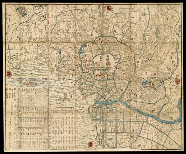
Maps from this period are marked by strong social hierarchies, Buddhist narratives, and traditional Japanese landscapes; a reminder that for almost three centuries, the purity of Japanese cartography and art was well preserved.
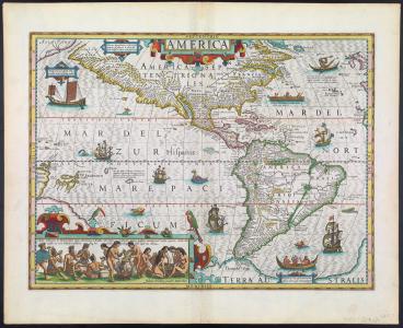
Although the title of this exhibition suggests that the European image of Native Americans changed only once from barbarians to noble savages, in reality it was not so simple. The first depictions of indigenous Americans were barbaric.
The Osher Map Library’s collection of maps from and of the American Revolution may be divided into five major categories, based on who made them and what they were made for.
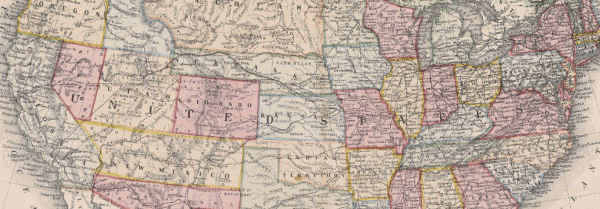
This web exhibit explores the events of the United States’ westward expansion, including encroachment on Native American lands, major land purchases, and mass migrations such as the Oregon Trail and California Gold Rush.


The Osher Map Library has in its possession an impressive assortment of atlases, maps, and related materials from just prior to the formation of the Soviet Union to its downfall.
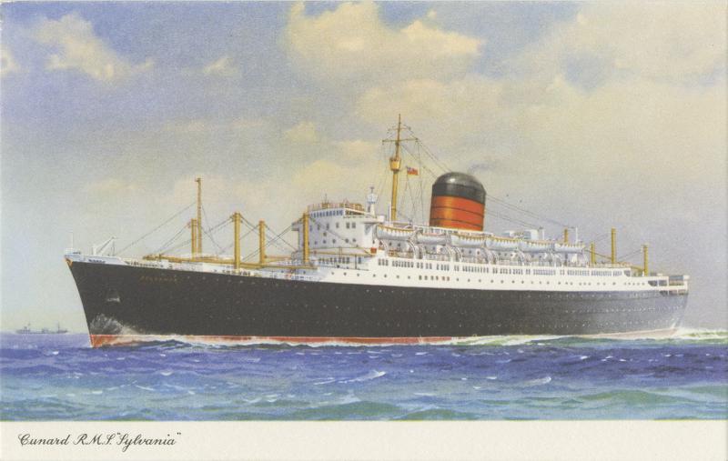
This virtual exhibition explores the experience and observations of then 21-year-old Judith McCarthy Robbins who, drawn by the romance of the ocean liner, chose to travel tourist class aboard the Cunard Line’s Sylvania to and from New York to Liverpool.