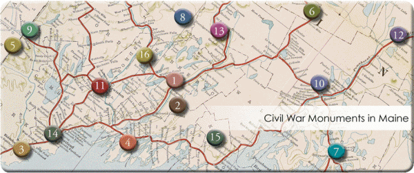
Thousands of monuments were created in every state and county throughout the Northern States to commemorate the Civil War, to serve as tangible reminders of the sacrifices made to secure the future of the Union. No less than 147 of these “Soldiers’ Monuments” were publicly erected in Maine between 1864 and 2003.
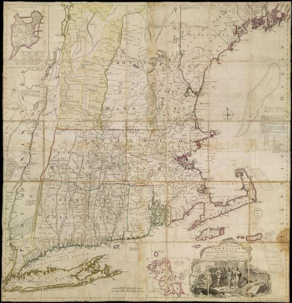
The Osher Map Library and Smith Center for Cartographic Education is pleased to make available to the people of the State of Maine a map of New England owned and used by Hugh, Earl Percy, one of the more able of the British generals during the American Revolutionary War.
Route 66 existed as an officially commissioned road for less than 60 years–from 1926 to 1985–but in that time it became a symbol for the freedom of the open road, the magic of auto travel, and the potential that lies in the American West.
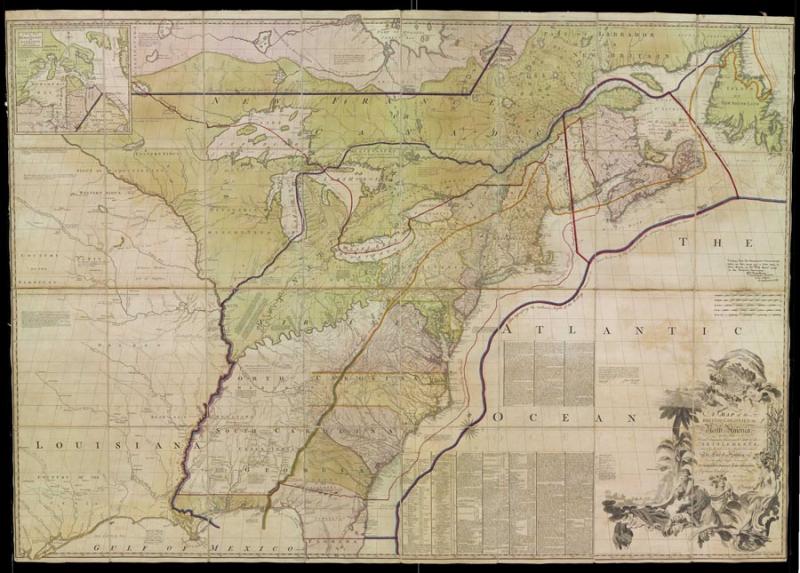
The Mitchell Map has been described, and rightly so, as the most important map in North American history. The most comprehensive map of North America produced during the Colonial Era, it represented the various territorial claims made not only by the competing British and French empires but also by the various British colonies.
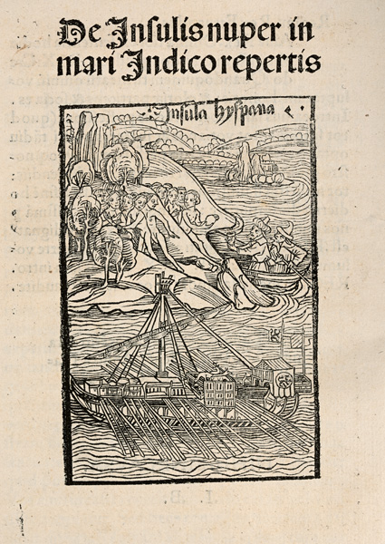
Christopher Columbus’s letter announcing the success of his voyage to the “islands of the Indian sea” is one of the most remarkable documents ever published.