October 4, 2011 ~ April 28, 2012 ... This exhibition commemorates the 400th anniversary of the publication in 1611 of Coryat’s Crudities, Thomas Coryat’s account of a five-month journey across Europe. A poor parson’s son, Coryat demonstrated th...

October 18, 2009 ~ August 21, 2010 ... American Treasures celebrates the reopening of the newly renovated and expanded Osher Map Library and Smith Center for Cartographic Education at the University of Southern Maine. It explores the library’s rich...
March 8, 2011 ~ August 25, 2011 ... Edward V. Thompson, Guest CuratorPrinted Maps of the District and State of Maine, 1793-1860, celebrates Edward V. Thompson’s recent publication of the same title (published by the Nimue Books & Prints in Ba...
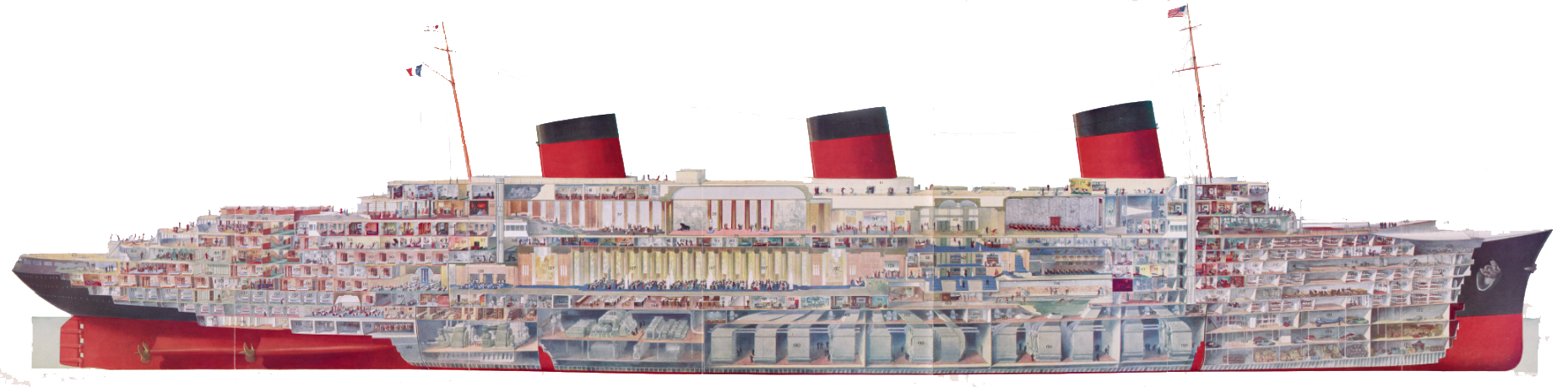
May 15, 2012 ~ August 23, 2012 ... The Triumph of the Passenger Ship presents the experience of life aboard these grand vessels through a selection of the Morse Collection of ocean liner ephemera. Norman H. Morse assembled his collection of almost 3,...
March 14, 2009 ~ June 21, 2009 ... In the late 1800s, “Arctic fever” swept the nation as dozens of American expeditions sailed north to find a sea route to Asia and, ultimately, to stand at the North Pole. Few of these missions were successful,...
The exhibition was curated by Earle G. Shettleworth, Jr., Director of the Maine Historic Preservation Commission. Valuable assistance was given by Peter Morelli, Rosemary Mosher, co_founder of Orbis LLC; Harold L. Osher as well as OML staff members G...

Drawn from the collection of Henry and Holly Wendt at the Sonoma County Museum, this exhibition presents thirty of the very first printed world maps, illustrating the ways in which early Renaissance Europe came to comprehend world geography. Env...
This exhibition invites visitors on a voyage beginning in 1540 with the very first exploration of the West Coast of North America by Europeans and represents the accumulation of knowledge leading to Thomas Jefferson’s commission of Lewis and Clark�...
A Tenth Anniversary Celebration of the Osher Map Library and Smith Center for Cartographic Education...
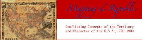
Conflicting Concepts of the Territory and Character of the U.S.A., 1790-1900Maps of the United States of America made by U.S. map makers in the nineteenth century embodied a truly important conflict in how Americans understood and conceptualized the ...