
Bicentennial Show Preview Although we had to cancel our public opening and lecture on March 21, 2020, we are still so excited to share a preview of our upcoming exhibit. Please enjoy the following excerpt from our upcoming bicentennial exhibition, "...
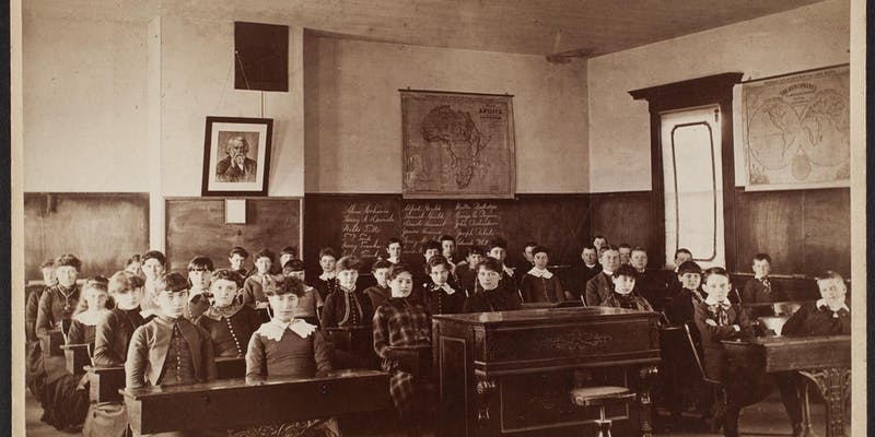
[expand title="EXHIBIT NAVIGATION"] Mapping the Classroom: Teaching Geography and History in Nineteenth and Twentieth Century New England 1. The Visual Culture of New England Classrooms 2. Schoolgirl Maps, Embroideries, and Penmanship Exercises 3. ...

Indigenous Peoples of North America: Wars, Treaties, Reservations, Etc. https://oshermaps.org/map/710 https://oshermaps.org/map/714 https://oshermaps.org/map/712 https://oshermaps.org/map/720 https://oshermaps.org/map/492 https://oshermaps...
[expand title="EXHIBIT NAVIGATION"] Printed Maps of the District and State of Maine 1. Osgood Carleton and the First Map of Maine 2. Moses Greenleaf: Maine's Greatest Mapmaker 3. Maps of Maine, 1820-1833 4. A New Map of Maine, 1833-1860 5. Th...
Nansenbushu bankoku shoka no zu This map was made by the Buddhist monk, Zuda Rokashi, also known as Rokashi Hotan, who updated Buddhist cartography to include Europe and America. Previous Buddhist maps did not include the W...
Eleanor Houston and Lawrence M. C. Smith Collection OML’s first ...