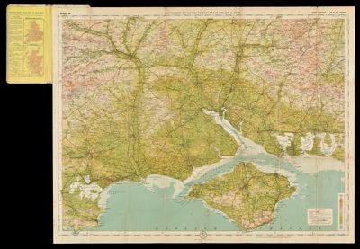
Tourists' Map of Hudson RiverDate/Date Range Produced: 1923 Language:English Dimensions: 252 x 16 cm folded in cover 16 x 12 cm LC Call Number: G3802.H9 1923 .R3 OCLC: 842011301 Accession Number: ST-1923-27 Donor:Story
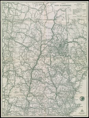
A Map of New HampshireDate/Date Range Produced: 1929 Language:English Region Depicted:New Hampshire Dimensions: 61 x 46 cm LC Call Number: G3741.P2 1929 .N3 OCLC: 618542567 Accession Number: ST-1929-46 Donor:Story