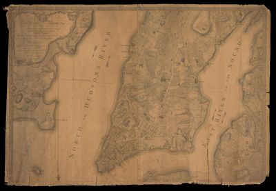
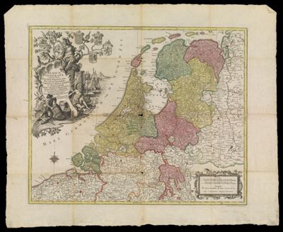
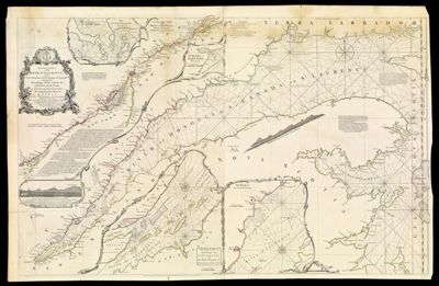
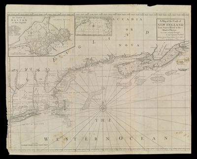
A Map of the Coast of New England from Staten Island to the Island of Breton as it was actualy Survey'd by Capt. Cyprian Southack
Atlas Reference: The English Pilot, the Fourth Book, 1775-1794Purveyor: W. & J. Mount & T. PageSurveyor: Southack, Cyprian, 1662-1745Date/Date Range Produced: 1775
Language: EnglishRegion Depicted: MaineMaritime ProvincesMassachusettsNew EnglandNew HampshireNova ScotiaMap Type: Nautical chartsDimensions: H 65.2 x W 80.5 cm
Printing Process: EngravingMaterial Type: PaperHistorical Context: Southack captained vessels in New England waters for 22 years. His New England Coasting Pilot (Boston, 1729-33) summarized the wealth of information he had collected about the coast, its hazards, and its currents. Southack's lists of sailing directions and eight charts guided ship's captains all the way from the Hudson River to Nova Scotia. Although criticized in the colonies as quite inaccurate, Southack's work was adopted by London chart makers. The present map was produced in 1744 by combining the eight charts from Southack's atlas into a single map; between 1775 and 1794 it was often reprinted in the principal English navigational manual for North America, The English Pilot, The Fourth Book.
LC Call Number: G3720 .S6 1775
OCLC: 226392400
Accession Number: SM-1775-21
Donor: Smith

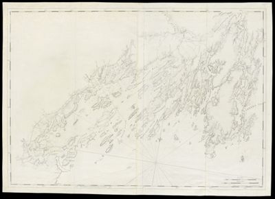
![Chart of the Coast Goldsborough to Moose Harbor. [Sheet 1 of 3]](https://cdn1.historyit.com/iiif/2/5f34291499c4a6.60628694/685af0a3e46055.23228602.jpg/full/!400,400/0/default.jpg?no_errors=1)