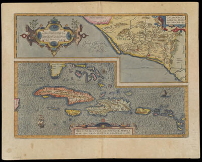
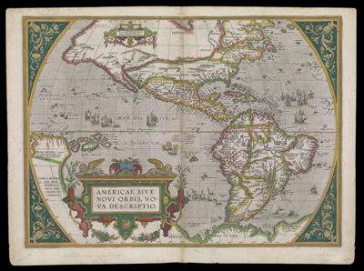
Culiacanae, Americae Regionis, Descriptio.
Creator: Ortelius, Abraham, 1527-1598Atlas Reference: Theatrum orbis terrarumPublisher: Ortelius, Abraham, 1527-1598Date/Date Range Produced: 1579
Language: LatinRegion Depicted: Caribbean regionCubaHaitiHispaniolaSinaloa, MexicoMap Type: GeographicalPolitical mapsDimensions: 36 x 50 cm on sheet 44.8 x 56.5 cm
Printing Process: EngravingMaterial Type: PaperHistorical Context: Ortelius created this map by himself, based upon a number of maps, including Mercator's 1569 world map, Guttierez' 1562 map of America, and Alsons de Sata Cruz' 1560 Isolario.
LC Call Number: G4414 .O7 1579
OCLC: 58436831
Accession Number: SM-1579-5
Donor: Smith