Inside Passage between Bath and Booth BayDate/Date Range Produced: 1887 Language:English Dimensions: 42 x 92 cm on sheet 45 x 96 cm OCLC: 802291516 Accession Number: OS-1887-50 Donor:Osher Donation Date: Nov 19th, 2011
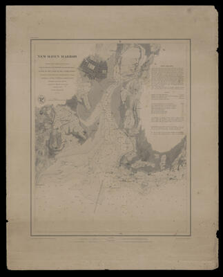
New Haven HarborPublisher:United States Coast Survey Date/Date Range Produced: 1846 Language:English Map Type:Nautical charts Dimensions: 44 x 36 cm on sheet 59 x 47 cm LC Call Number: G3784.N4P55 1846 .U5 OCLC: 18392247 Accession Number: OS-1846-47 Donor:Osher Donation Date: Nov 19th, 2011
Portland Harbor, MaineDate/Date Range Produced: 1885 Language:English Dimensions: 72 x 66 cm on sheet 77 x 70 OCLC: 802291662 Accession Number: OS-1885-37 Donor:Osher Donation Date: Nov 19th, 2011

![[UNTITLED MAP OF ARCTIC- NW PASSAGE]](https://cdn1.historyit.com/iiif/2/5f34291499c4a6.60628694/64e7578a975059.71379900.jpg/full/!400,400/0/default.jpg?no_errors=1)