Osher Sheet Map Collection
2,262 results
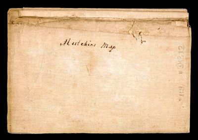
A New Map of the Western Parts of Virginia, Pennsylvania, Maryland and North Carolina; Comprehending the River Ohio, and all the Rivers, which fall into it; Part of the Mississippi, the Whole of the Illinois River, Lake Erie; Part of Lake Huron, Michigan &c.
Creator: Hutchins, Thomas, 1730-1789Date/Date Range Produced: 1778
Language: EnglishFrenchRegion Depicted: IllinoisMarylandNorth CarolinaOhioPennsylvaniaVirginiaMap Type: GeographicalManuscript mapsOCLC: 927113523
Accession Number: OS-1778-24
Donor: OsherDonation Date: Sep 1st, 2013
![]()