Osher Sheet Map Collection
2,262 results
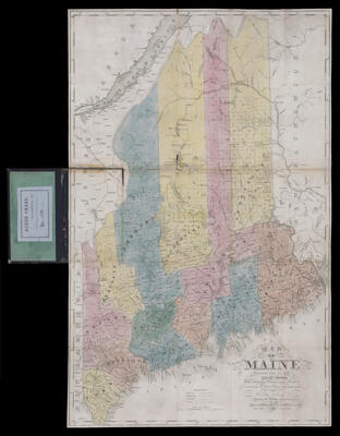
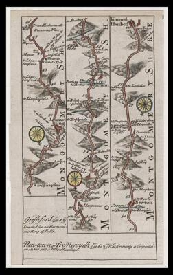
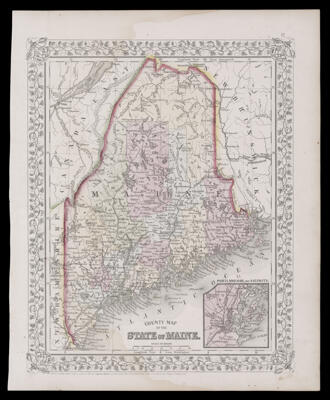
Map of Maine constructed from the most correct surveys, with sectional distances and elevations, or level, of the St. Croix River from Calais Bridge : deduced from the states survey made by W. Anson in 1836, engraved & published by S.H. Colesworthy, Portland, revised 1840 edition.
Creator: Anson, W.Colesworthy, Samuel Hodgson, 1808-Date/Date Range Produced: 1840
Language: EnglishRegion Depicted: MaineMap Type: GeographicalHistorical mapsDimensions: H 58 x W 37 cm
LC Call Number: G3730 1840.A5
OCLC: 986799063
Accession Number: OS-1840-42
Donor: OsherDonation Date: Mar 20th, 2017
Subjects: Calais (Me.)MaineMaine--MapsSaint Croix River (Me. and N.B.)
![]()