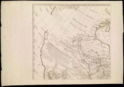
A General Map of North America In which is Express'd the Several New Roads, Forts, Engagements, &c. taken from Actual Surveys and Observations Made in the Army employ'd there, from the Year 1754, to 1761. Drawn by the late John Rocque, Topographer to His Majesty.
Creator: Rocque, John, -1762Publisher: Rocque, John, -1762Rocque, Mary AnnDate/Date Range Produced: 1761
Language: EnglishRegion Depicted: CanadaCentral North AmericaLabrador, CanadaNew EnglandNorth AmericaWestern North AmericaMap Type: GeographicalHistorical mapsPolitical mapsDimensions: 87 x 91 cm
Printing Process: EngravingMaterial Type: PaperLC Call Number: G3300 1761 .R6
OCLC: 5404725
Accession Number: OS-1761-1; OS-1761-1.2; OS-1761-1.3; OS-1761-1.4
Donor: OsherSubjects: CanadaCartouches, Ornamental (Decorative arts)Great Lakes (North America)New EnglandNorth AmericaplantsTrees
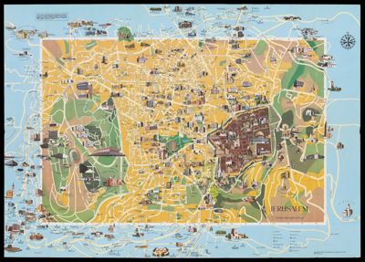

![Civitas Ihervsalem [container test]](https://odyssey.historyit.com/img/thumbnail/Folder.png?no_errors=1)