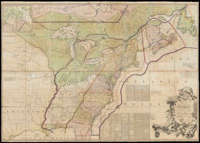
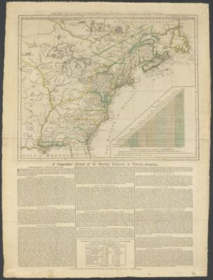
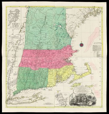
A Map of the British Colonies in North America with the Roads, Distances, Limits, and extent of the Settlements, Humbly Inscribed to the Right Honourable the Earl of Halifax ...
Creator: Mitchell, John, 1711-1768Publisher: Faden, William, 1749-1836Mitchell, John, 1711-1768Date/Date Range Produced: 1775
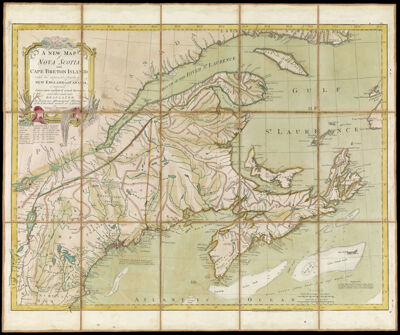
Language: EnglishRegion Depicted: Eastern CanadaEastern United StatesMap Type: GeographicalDimensions: 136 X 196 cm.
Printing Process: EngravingMaterial Type: PaperHistorical Context: John Mitchell?s map was the only map consulted during the negotiations preceding the Treaty of Paris in 1782-1783. Several editions of the map were annotated with boundary lines marked in red ink. In 1934, Col. Lawrence Martin, then chief of the Library of Congress Geography and Map Division, called Mitchell's map, "the most important map in American history." Manuscript annotations by J.E. Hawkins, draughtsman of the War Office certifying "that the boundaries transcript notes on this map are a true copy of those shown on the "Red Line" map in the British Museum. J.E. Hawkins, Intelligence Division War Office, 9th September 1898." This fourth edition published by William Faden with a new title reflecting the British defeat of the French and the annexation of Quebec.
LC Call Number: G3300 1775 .M5
OCLC: 930610920
Accession Number: OS-1775-8
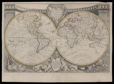
Donor: OsherSubjects: AgricultureAmerican Revolution, 1775-1783Cartouches, Ornamental (Decorative arts)Colonial AmericaCommerceCrestsFishingHeraldryIndigenous peopleNative AmericansTreaty of Paris, 1783