• About
    • Mission Statement
    • Staff
    • Collections
    • Imaging Services
    • Student Employment
    • History
    • Contact Us
  • Visit
    • Make Appointment
    • Hours
    • Directions
    • Research
    • Group Tours
    • K-12 Field Trips
    • Summer Camp
  • Teach
    • Book a K-12 Visit or Kit
    • Field Trips
    • Classroom Activity Kits
    • Professional Development
    • Downloadables
    • Mapmaking Contest
    • Summer Camp
  • News & Events
  • Blog
  • Search The Collection
  • Browse Maps
  • Exhibits and Reference
    • Gallery Exhibits
    • Map Commentaries
    • Digital Exhibits
    • Reference Books
    • Digital Commons
    • Ask a Librarian
ADVANCED SEARCH
  • HOME |
  • Tag Detail
  • About
    • Mission Statement
    • Staff
    • Collections
    • Imaging Services
    • Student Employment
    • History
    • Contact Us
  • Visit
    • Make Appointment
    • Hours
    • Directions
    • Research
    • Group Tours
    • K-12 Field Trips
    • Summer Camp
  • Teach
    • Book a K-12 Visit or Kit
    • Field Trips
    • Classroom Activity Kits
    • Professional Development
    • Downloadables
    • Mapmaking Contest
    • Summer Camp
  • News & Events
  • Blog
  • Search The Collection
  • Browse Maps
  • Exhibits and Reference
    • Gallery Exhibits
    • Map Commentaries
    • Digital Exhibits
    • Reference Books
    • Digital Commons
    • Ask a Librarian
ADVANCED SEARCH
  • Terms of Use |
  • Privacy Policy |
  • Contact Us

Western Shore of the Bay of Yedo

Showing 1-1 of 1 results

Sort By:

Western shore of the Bay of Yedo surveyed by order of Commodore M.C. Perry U.S.N. by Lieut. Wm. L. Maury and other officers of the Japan Expedition 1854 ; drawn by Edward Sels ; engraved by Selmar Siebert.

CreatorBien, JuliusPerry, Matthew CalbraithSels, Edward

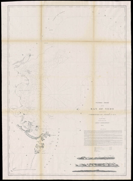
SurveyorMaury, William L

LanguageEnglish

Region DepictedJapan

Map TypeNautical chartsNavigation charts

DimensionsMap: 92.5 x 64 cm on sheet: 99 x 69.5 cm

Material TypePaper

LC Call NumberG7962.T66P5 1854 M3

OCLC1314103883

Accession NumberSM-1854-30

See AlsoWestern shore of the Bay of Yedo surveyed by order of Commodore M.C. Perry U.S.N. by Lieut. Wm. L. Maury and other officers of the Japan Expedition 1854 ; drawn by Edward Sels ; engraved by Selmar Siebert.

DonorSmith


  • About |
  • Visit |
  • Events |
  • Browse |
  • Explore |
  • Teach
  • Terms of Use |
  • Privacy Policy |
  • Contact Us
The digital collections of the Osher Map Library and Smith Center for Cartographic Education are constantly being updated. Please be aware that system development continues as we add new items, revise errant metadata, and fix bugs. Should you experience any issues with the website, please reach out to a staff member.
  • Basic Search
  • Advanced Search
  • Site Search
More +less -