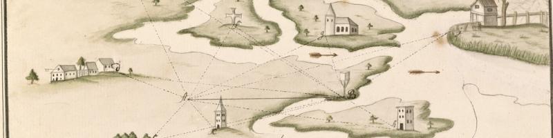
Educational reformers in the late eighteenth century, such as Johann Heinrich Pestalozzi in Switzerland, proposed that the best way to learn geography was for children to make their own maps, copying from printed masters. This practice quickly became common in Europe and also in the United States, popularized by Emma Willard, William Wooldridge, and others. The maps in this case, and on the wall to the left, are all products of this movement. Items 29 and 31 are from Europe, items 30 and 32–35 from the United States. One is by a ten-year-old boy who would later become a famous artist — Winslow Homer [item 33, to your left] — and one by a cousin of a US president [item 34], but the others are by people who are otherwise perfectly normal. Their maps vary somewhat in quality, according to their own skills, but all are the product of care and attention.
See Susan Schulten, “Emma Willard and the Graphic Foundations of American History,” Journal of Historical Geography 33, no. 3 (2007): 542–64.
This beautifully executed French atlas was given by its schoolgirl author, Mlle. Elise Massieu, to her aunt, Mlle. Fromaget. But, as a manuscript work, it was open to emendation, and so includes several maps made later. The facsimiles on display here include two maps of the Iberian peninsula, the first in March 1806, and a second from December 1808 that has been tipped in.

29. Elise Massieu
“Carte generale de l’Amerique septentionale par Mlle. Elise Massieu en Novembre, an 1805”
In Elise Massieu, “Etrennes dediées a Mlle. C. Fromaget” (1806), fol. 8r
Manuscript, 26cm x 38cm
Osher Collection
Sarah Akin’s little atlas [item 30] was itself used as a guide for another child, as is evident from the two maps of North America to which it is open. Ms. Akin and her friends also used the book to demonstrate their penmanship.

30. Sarah R. Akin [Allen]Untitled maps of North America
In an untitled atlas (ca. 1830), fols. 3v–4r
Osher Collection
The institutionalization of map copying led by the 1870s to The Midland Mapping Book, a book of blank sheets with a titlepage bearing appropriate aphorisms: “Knowledge is Power” and “Diligence commands Success.” Harry Langston used his copy [item 31] to make quite advanced maps of many parts of the world.

31. Harry B. Langston
Annotated copy of The Midland Mapping Book (ca. 1875)
Osher Collection
Edward Moore used his copy of The Eclectic Complete Geography (1883) to store some odd scraps of paper, including some of his schoolboy, hand-drawn maps.

32. Edward W. Moore
Maps (1883–1885) found in his signed copy of The Eclectic Complete Geography (Cincinnati and New York, 1883).
Manuscripts, 23–31.5cm x 14.5–24cm (paper)
Osher Collection

33. Winslow Homer (1836–1910)
British Isles (1846)
Manuscript, 21cm x 14.5cm
Osher Collection
Eleven-year-old Margaret Taft, a cousin to President William Howard Taft, copied her map from John Melish’s of the United States, first published in 1821 [example OML copy].

34. Margaret Taft (b. 1819)
“United States” (4 February 1830)
Manuscript, 38cm x 49cm
Osher Collection
The anonymous copyist of this map derived it from Jedidiah Morse’s very common map of the United States; many of the impressions of this map [such as this one] were included in Morse’s school geographies.

35. “United States” (after 1826)
Manuscript, 27cm x 44cm
OML Collection