20. Charles Francois Delamarche, 1787
Globe Dresse par M. Robert De Vaugondy
Smith Collection: SM-1787-8
www.oshermaps.org/map/2325.0001
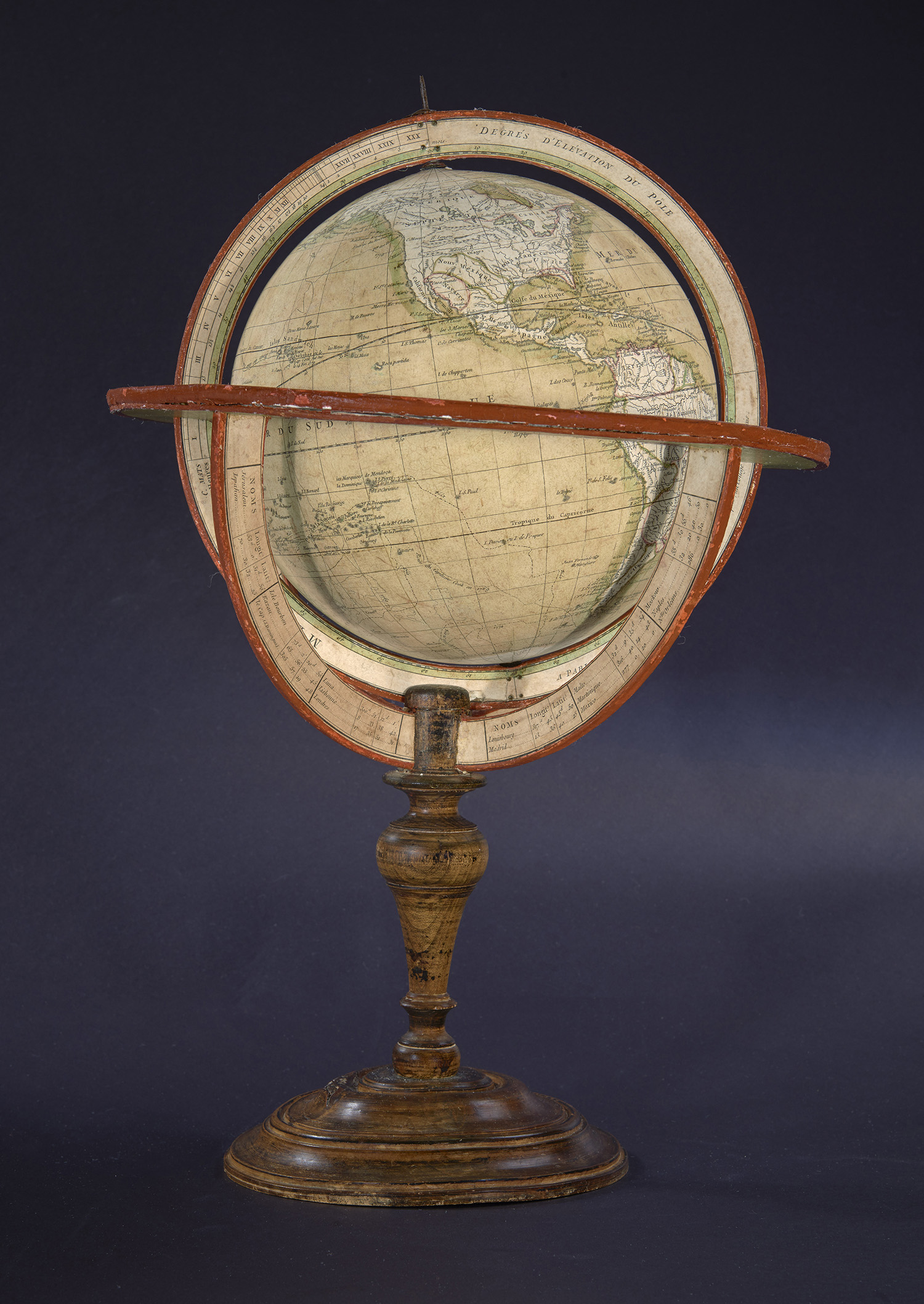
This terrestrial globe, another product of Delamarche, was originally created by Robert de Vaugondy to visualize the discoveries of Captain James Cook. Captain Cook helped create a more accurate depiction of the globe through his new understandings of New Zealand and the Great Barrier Reef.
One of the most noticeable ways Captain Cook influenced maps and globes was his disproval of the existence of Terra Australis (“unknown land of the south”). Terra Australis was a believed to be a giant continent thought to nearly reach South America, India, and New Guinea. You can see what people believed Terra Australis may have looked like in the map on the next two pages.
The legend of Terra Australis was born in the mind of the Greek philosopher Aristotle in the 4th century, and the concept was expanded by Ptolemy. It was thought to exist in order to balance the huge oceans. Cook’s voyages proved definitively that the continent was much smaller and would only be found around the icy South Pole. Thus, the idea of Terra Australis shrunk into what we are familiar with now– Antarctica.
Thanks to Cook, the first accurate map of the Pacific Region was created, and globes and maps from that point forward would feature his discoveries.