

Collection: Osher Map Library Collection
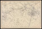
Name: A Pictorial Map of Cambridge 1760-1770 showing the Residences & Gardens of the Principal Citizens of the Town
Barcode:
Image Number:
Creator:
Date/Date Range Produced:
Date/Date Range Published:
Language:
Notes: Oriented with north toward the upper left. Shows names of buildings and property owners. Includes decorative cartouche and compass.
Physical Description: 1 map: uncolored, illustrated
Accession Number: OML-1949-14
Permanent URL: