

Collection: Osher Map Library Collection
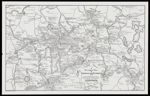
Name: A pictorial map of Wenham and environs, 1776, showing the residences of citizens
Barcode:
Image Number:
Creator:
Date/Date Range Produced:
Date/Date Range Published:
Language:
Dimensions: 56 x 92 cm
Physical Description: 1 map: uncolored, illustrated
OCLC: 5492029
Accession Number: OML-1976-28
Permanent URL: